The Back-Story
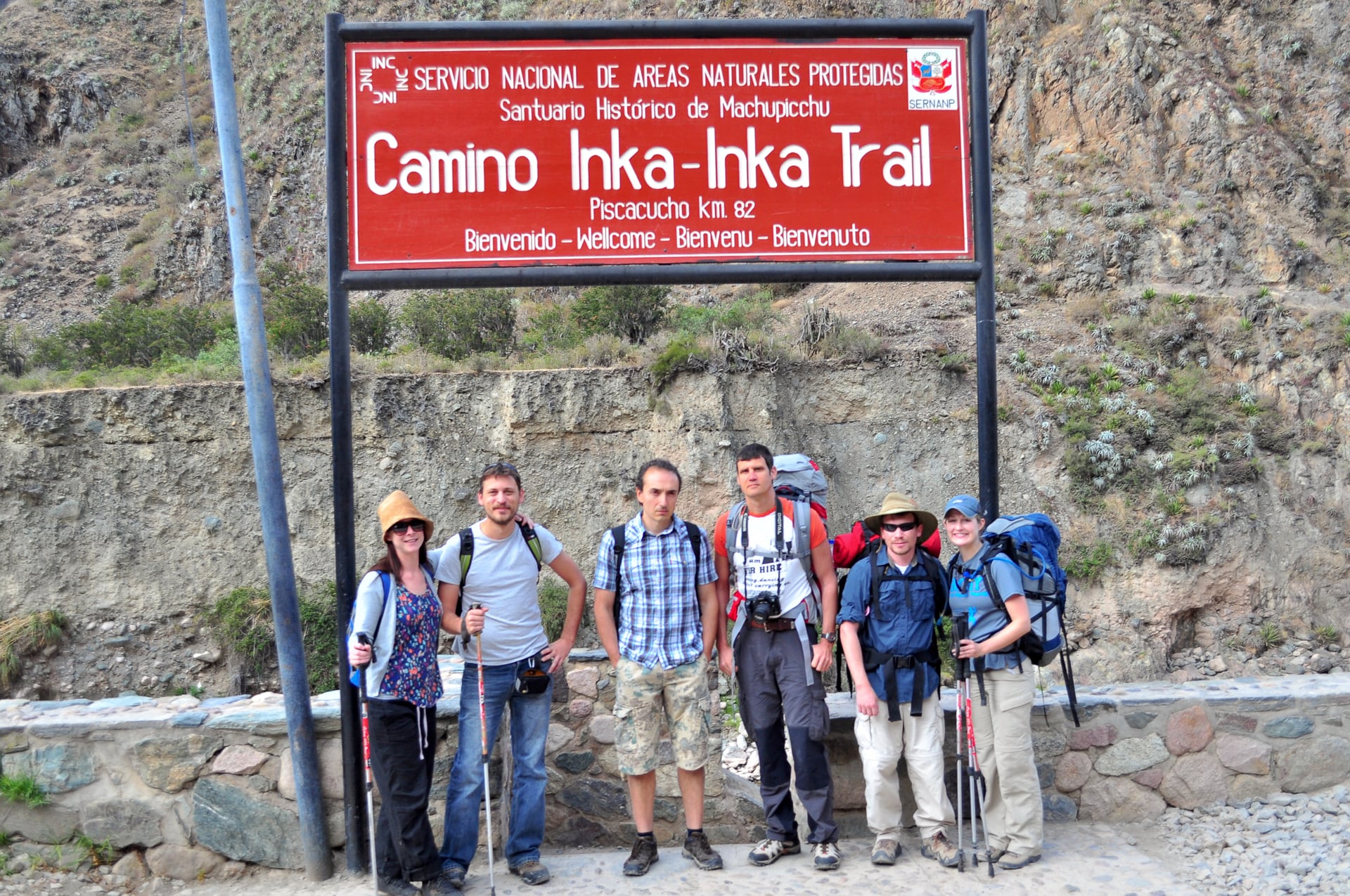
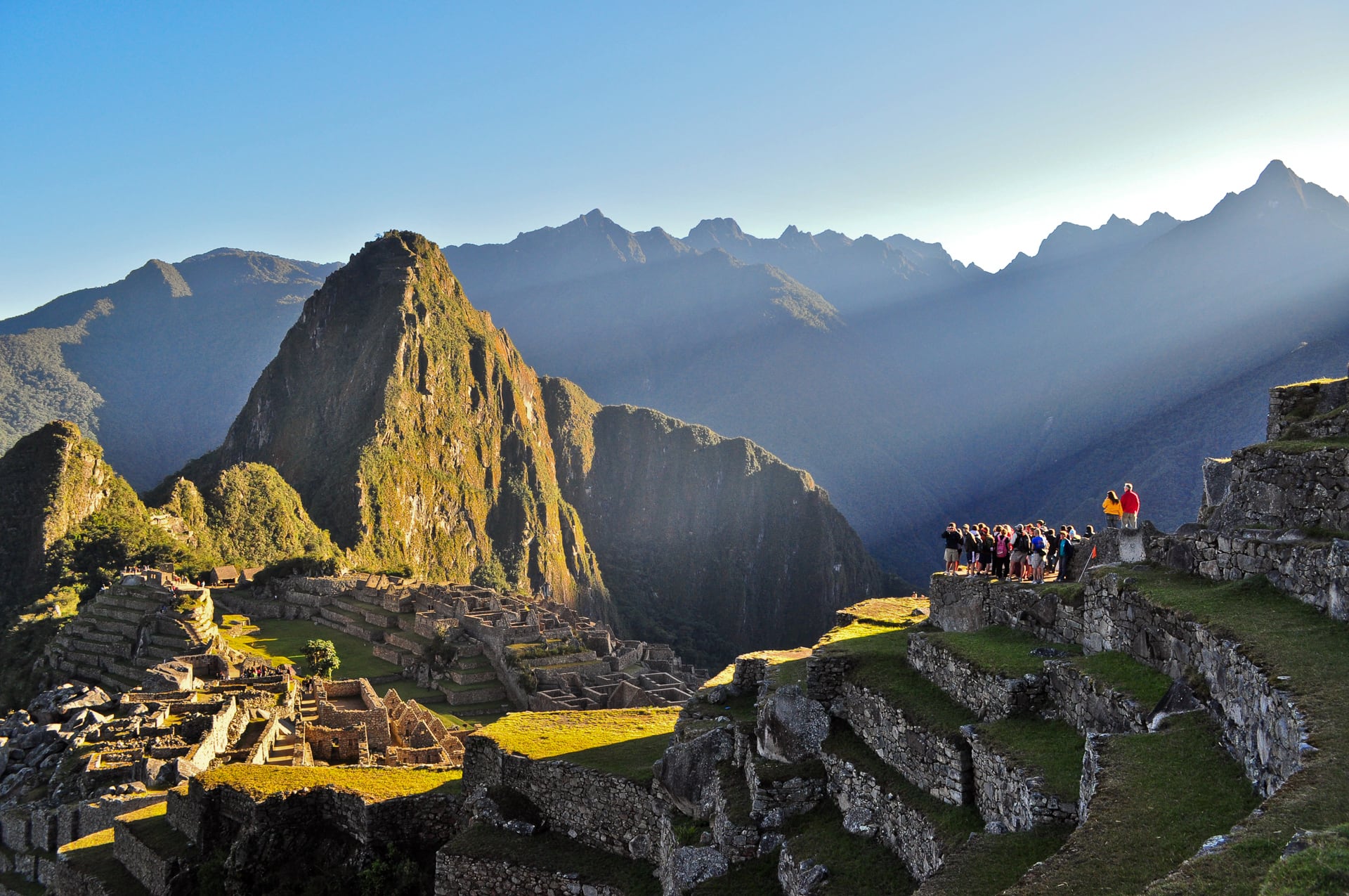
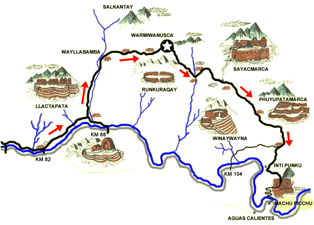
Instead of taking the traditional tourist route to Machupicchu (Machu Picchu), we decided months in advance that we wanted to follow the 500-hundred-year-old segment of the Inca trail (Camino Inka) from kilometer 82 of the highway to Machupichu. The route we took is traditionally called the “Inca Trail” because it constitutes roughly 46 kilometers (28 miles) of the holiest segment of road in the former Inca Empire, from the important administrative town of Q’entimarka to the Holy City of Machupicchu. To follow this path was the Hajj of the most devout Inca worshippers. Due to a dramatic increase in interest in the Inca Trail in recent years, the path has become more and more restricted (and expensive to travel). Because of this (and damage to the trail caused by thousands of pilgrims following the trail each day in high season) the Peruvian government in recent years has taken measures to dramatically restrict the number of trekkers to 500 per day and will likely continue to further tighten restrictions in coming years.
Consequently, it was important to Lori and I that we incorporate hiking the trail now, and we feel very fortunate to have had the opportunity. In fact, we felt very fortunate just to have secured reservations at all. Most travel guides advise booking six months in advance, but six months prior we didn’t even know we would be traveling to South America. Earlier in the year, however, Machupicchu had been closed due to severe rains and mudslides. As luck would have it, we bought our plane tickets two days after Machupicchu re-opened and successfully made our trek reservations soon after that.
You are required by Peruvian law to go through a trekking company to hike the trail. After much research, we decided to go with Llama Path and were very happy we did (more on Llama Path in the next post).
Inca Trail Trek Day One
| Day 1 Start: | Kilometer 82 |
| Day 1 End: | Ayapata Rest Camp |
| Day 1 Distance: | 12 km / 7.5 mi (6 hours) |
We left our 6-week trip largely open, scheduling only three major constraints: Our flight into Lima, flight out of Quito and our 4-day Inca Trail trek. Basically, nothing was going to keep us from getting to Cuzco and getting on the trail. As a result, the night before our departure, Lori and I did something we thought we would never do. After our pre-trip briefing at Llama Path in Cuzco we found ourselves very hungry, and very low on time. By then it was already 8:30pm and we still had to pack, eat, buy plane tickets (to Iquitos in a couple of weeks) and get some rest before our 4:30am pick-up. Soooo…we swallowed our pride and became “those” tourists who asked a Cuzco police officer where the “McDonalds” was… We knew Cuzco had one and we needed quick, reliable food…so we settled on the golden arches which ended up treating both of us quite well, though the shame still lingers…Ok, on to the trek!!!
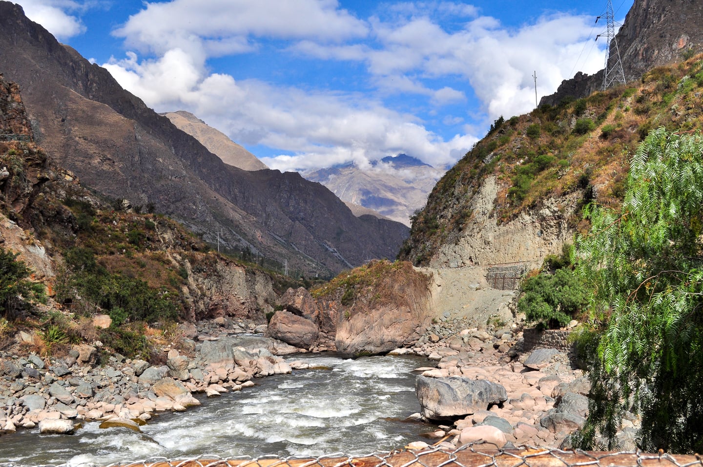
Rio Urubamba at Km 82 (the start of the “Inca Trail”).
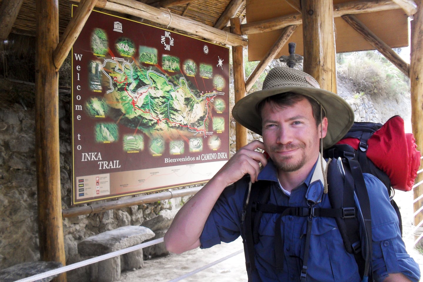
Submitting our documents at government checkpoint #1 – start of the Inca Trail.
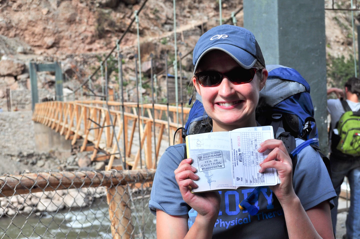
Getting our passports stamped at government checkpoint #1 – start of the Inca Trail.
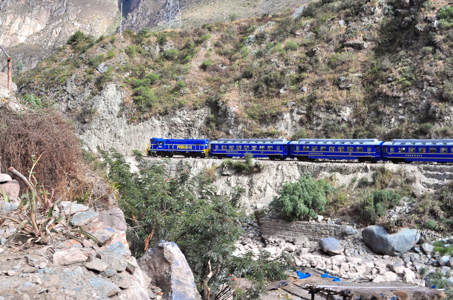
Hiram Bingham Train – Luxury train from Aguas Calientes.
The video below is 5 minutes and offers a great overview (elevation profile and virtual fly-over) of the entire Inca Trail utilizing the wonders of Google Earth. I highly recommend viewing it for anyone interested in Machupicchu, the Inca Trail or mountain trekking in general.
Inca Trail elevation profile and virtual fly-over (Google Earth)
Our trek spanned 46 kilometers (28 miles) over four full days, and three nights, starting from an elevation of 8,923 ft., passing over 13,779 ft. “Dead Woman’s Pass” on the 2nd day (Lori says that this was aerobically even more challenging than hiking out of the Grand Canyon). Our days ranged from 4 to 11 hours of hiking.
Here’s a description of the first day from the Llama Path website:
Day 1 – The Start of the Adventure – ‘Inca flat’!
Total distance to be covered on day 1: 12km (5 to 6 hours more or less)
To start the trail (2720m/8923ft), we cross the Vilcanota River and follow its route to the right. The first day is relatively easy (a warm-up on the ‘Inca flat’ terrain) and we will have great views of the site of an Inca Fortress (‘Huillca Raccay’), the vast and incredible Inca site ‘Llactapata’ (officially called ‘Patallacta’), the Urubamba mountain range that divides the jungle and the Andes and the beautiful snow-capped peak of ‘W’akay Willca’ (5860m/19225ft), known in books as Veronica.
Our first campsite (Ayapata) will be 1 hour and a half up the small village of Wayllabamba (3000m/9842ft) in the temperate green valley of the same name.
Temperature at night is usually around 5ºC (depending on the month).
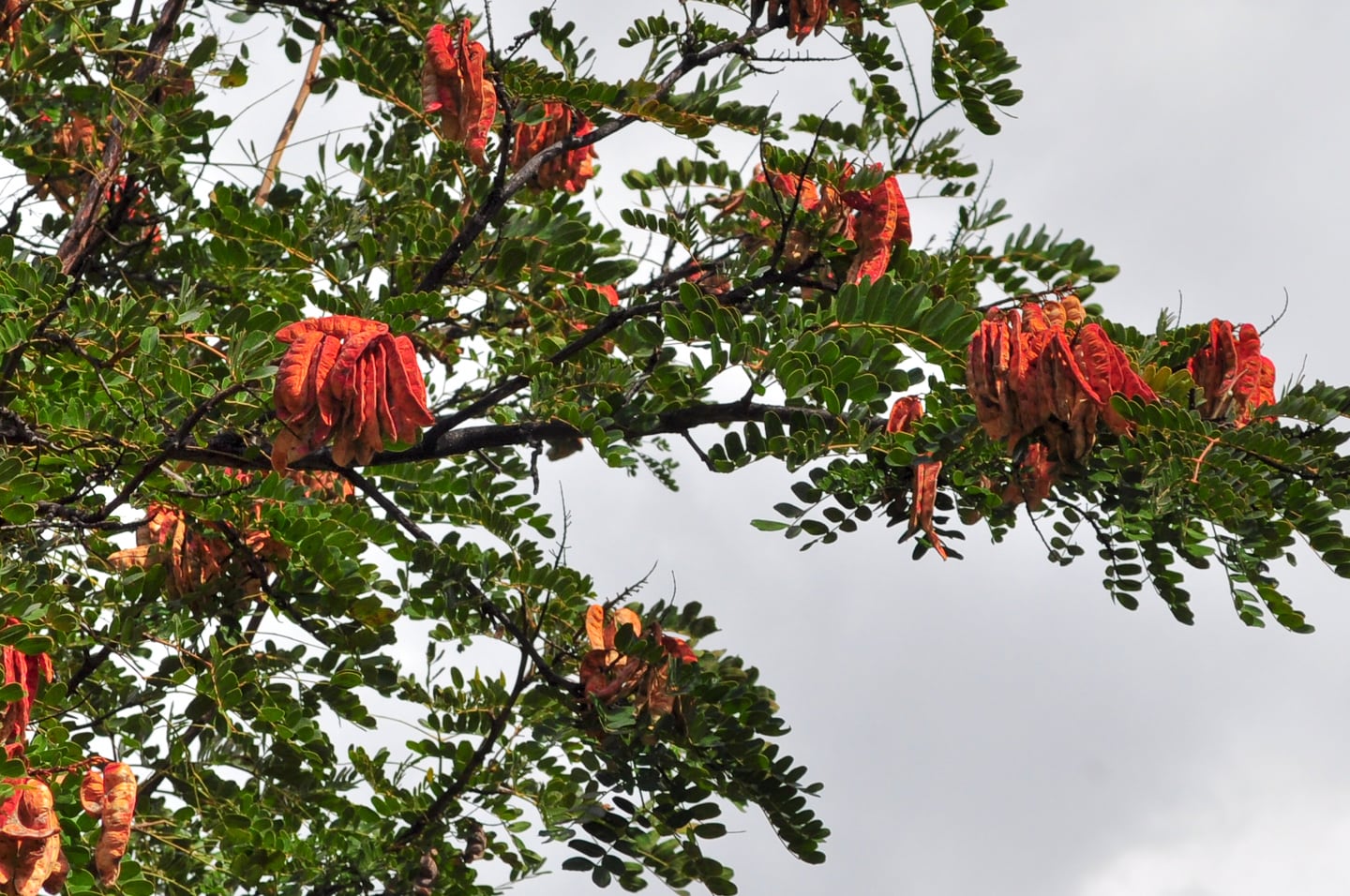
Bright red pods on a tree in the Andes. Have not been able to identify.
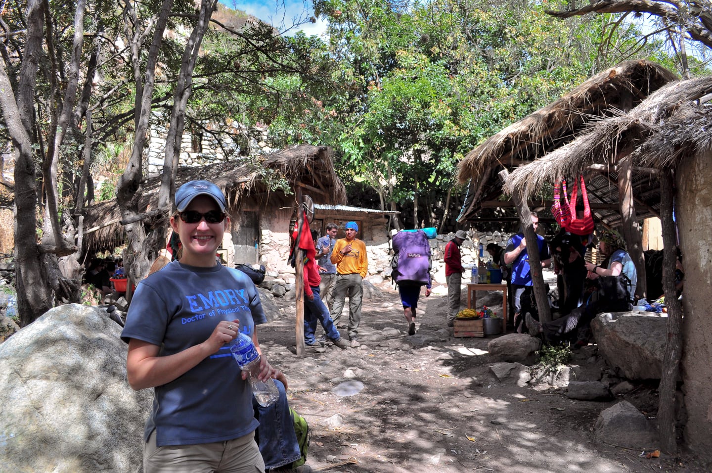
First pit-stop on Day 1 — village of Miskay.
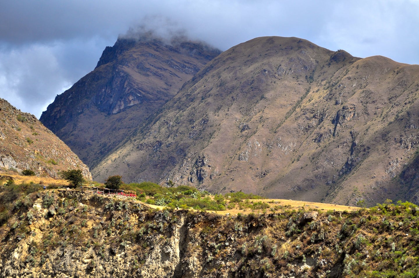
Up the mountain!
The red color up on the ridge is our group of porters [above]. They liked to show off.
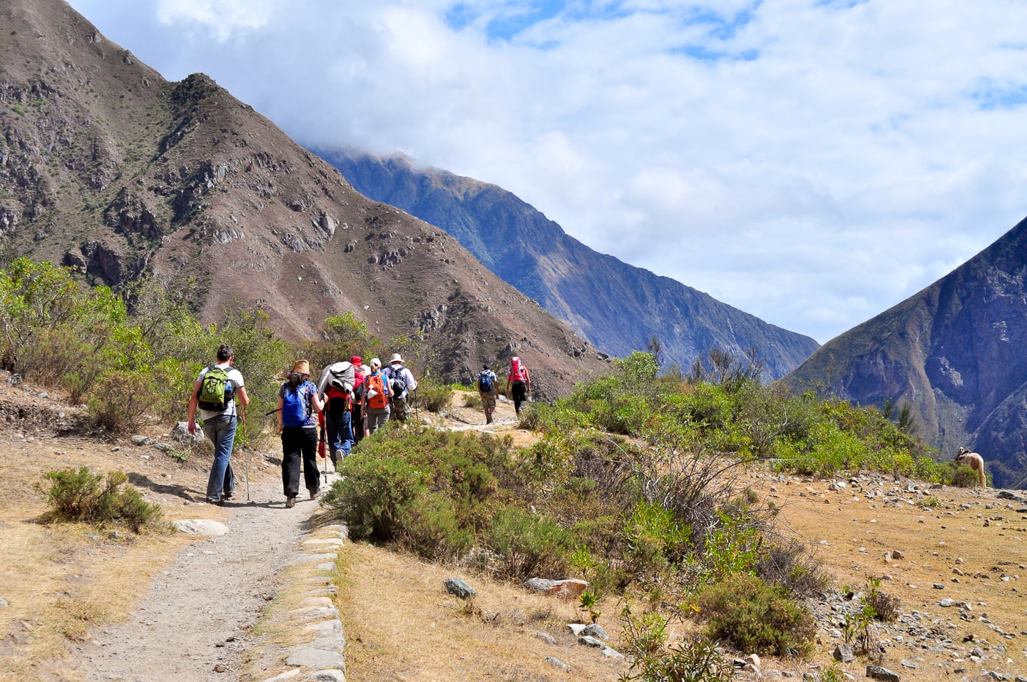
Our group along with other trekkers forging deeper into the mountains.
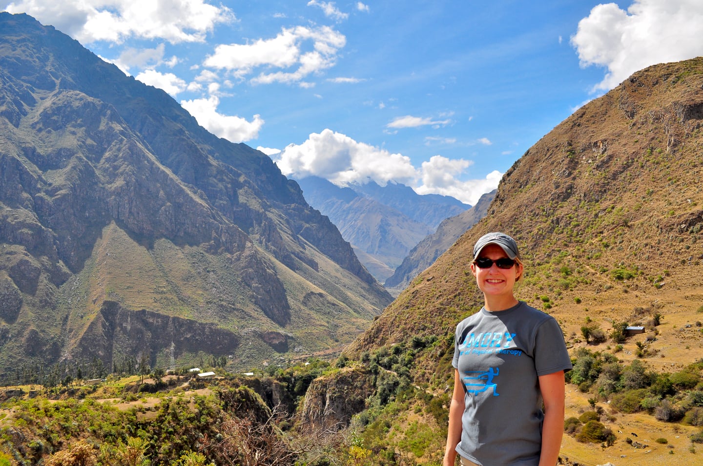
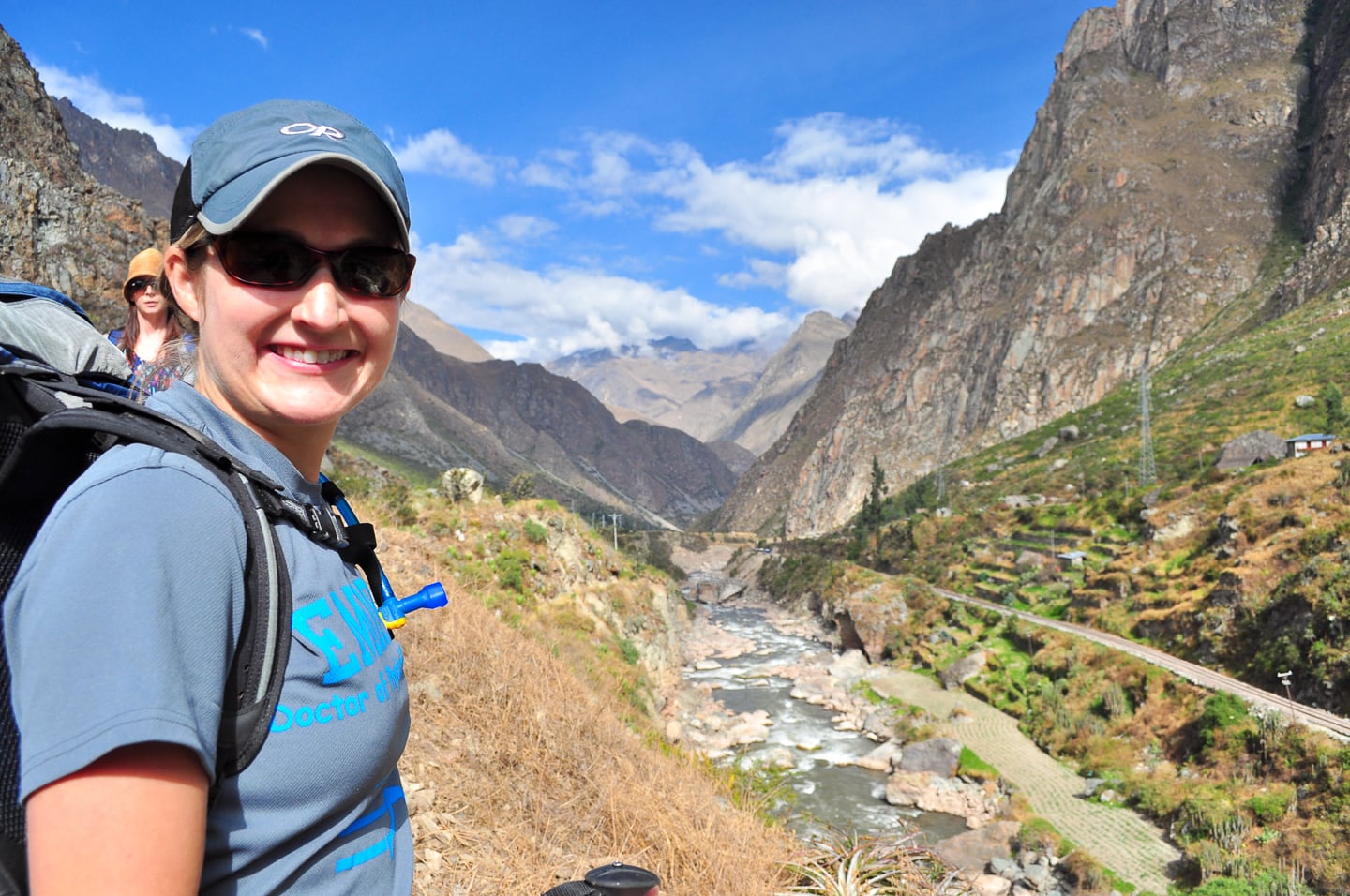
Lori at 10,000 ft. in the dead of the Peruvian winter. Not bad (during the day…)!
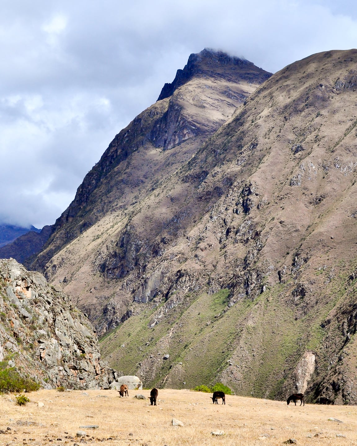
Along the trail — Life ambles on high up in the Andes as it has for centuries.
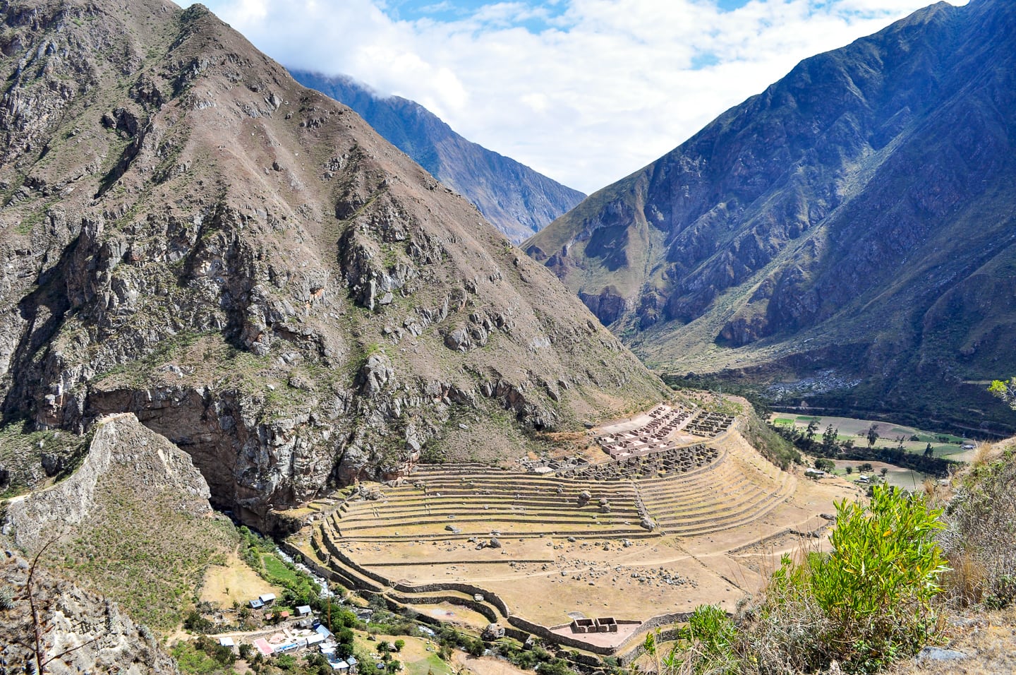
Our guide explained that as the river has risen and fallen over the centuries, destroying most Spanish settlements in the valley, Inca sites like Llactapata have survived greatly intact due largely to the Inca’s superior engineering and advanced knowledge of environmental factors.
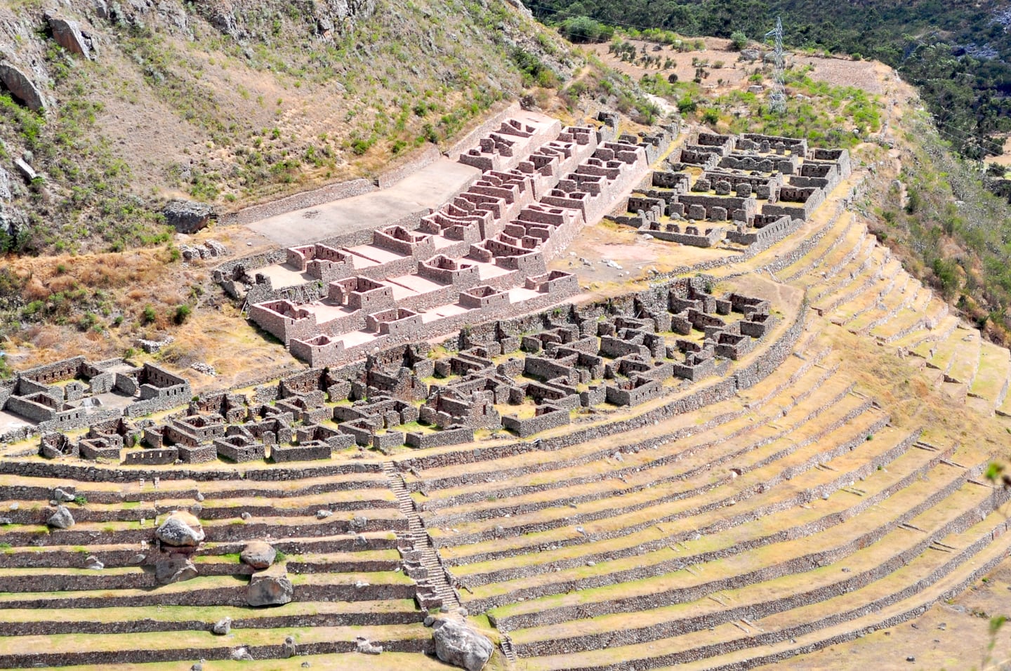
A closer view of Llactapata, 500+ years on.
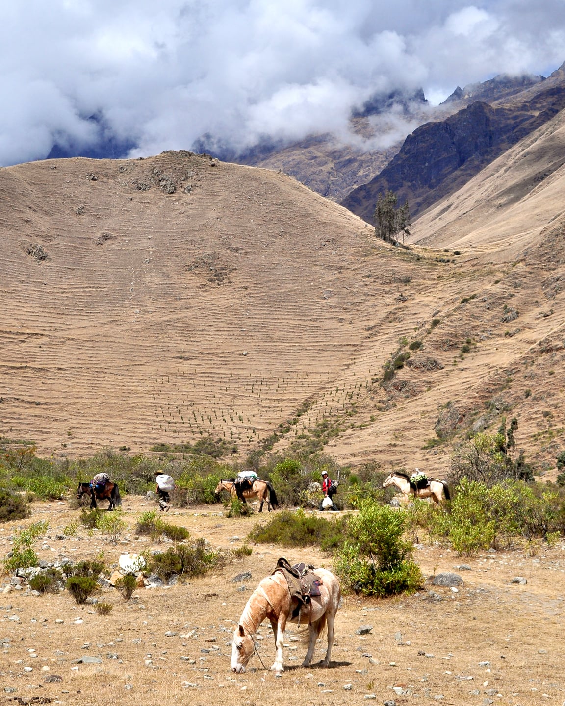
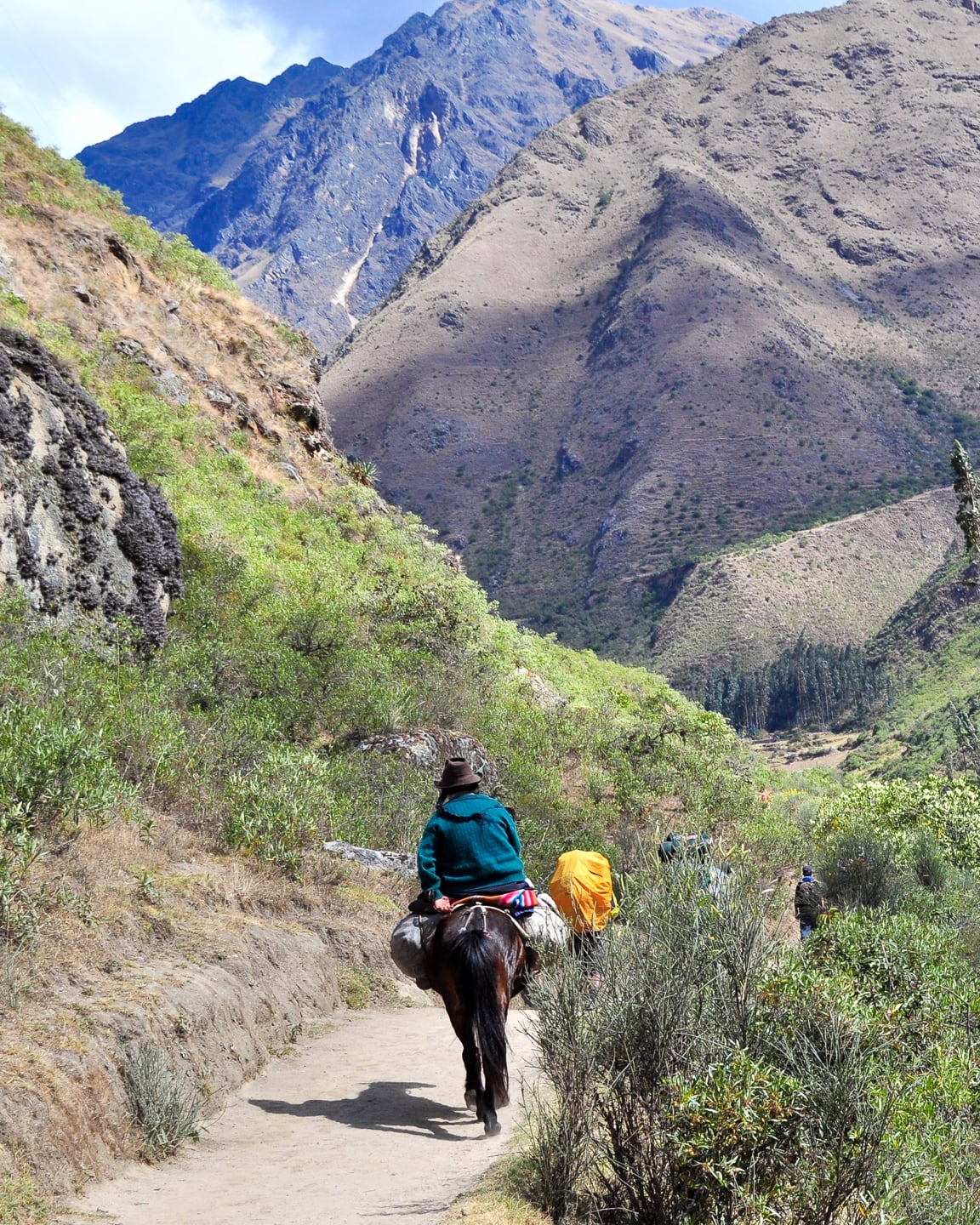
Much of the Inca trail is actively in use today by locals to ferry supplies to and from the various pit-stops and camps for trekkers.
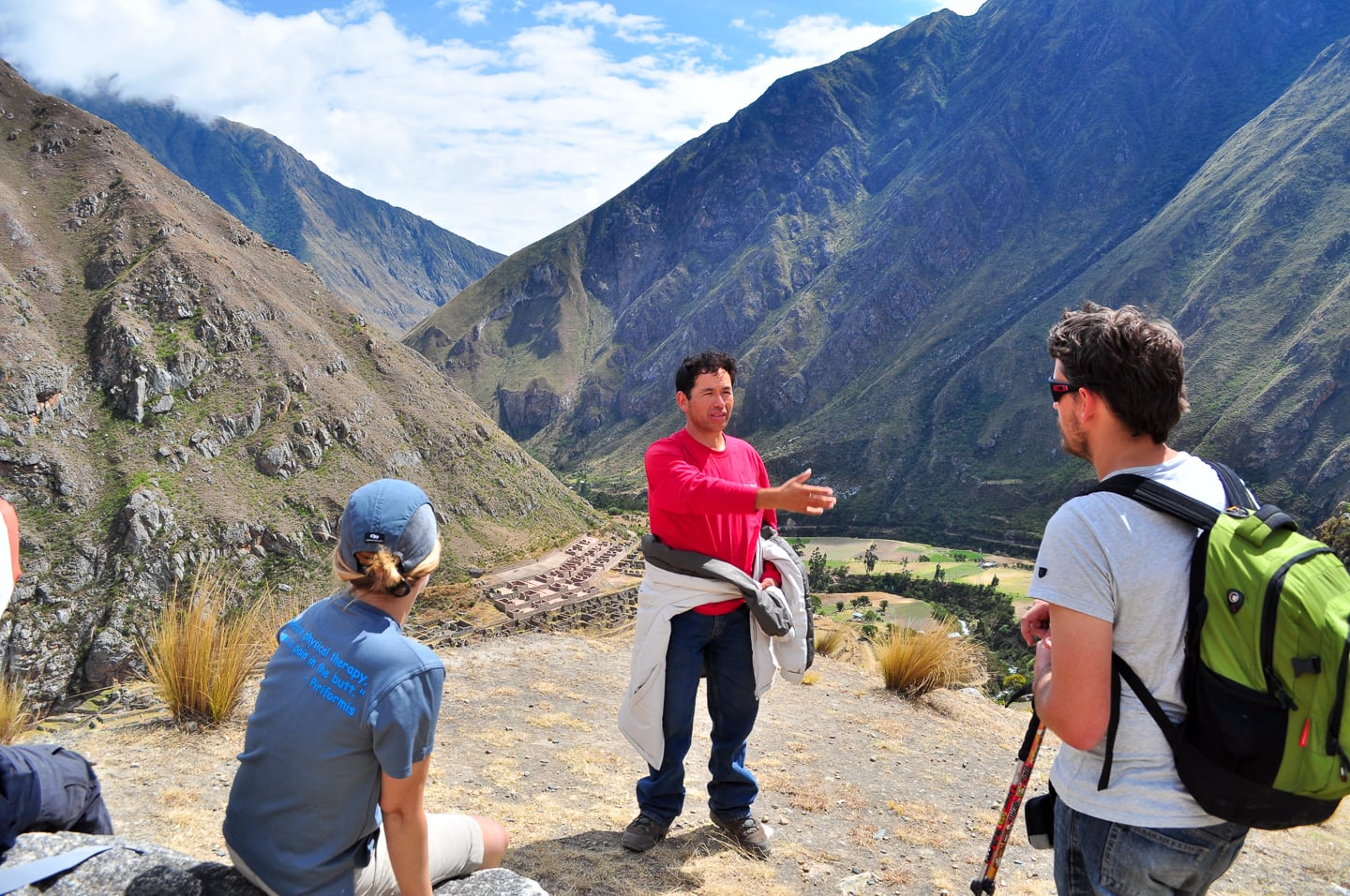
Our awesome guide, Julian, giving us the low-down on the former Inca administrative center, Llactapata (behind/below).
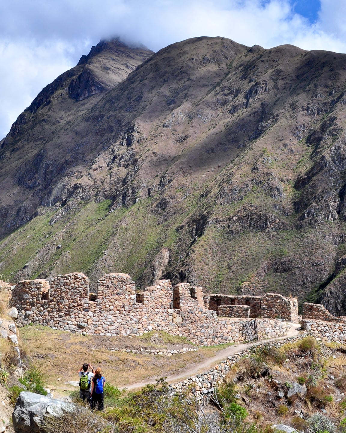
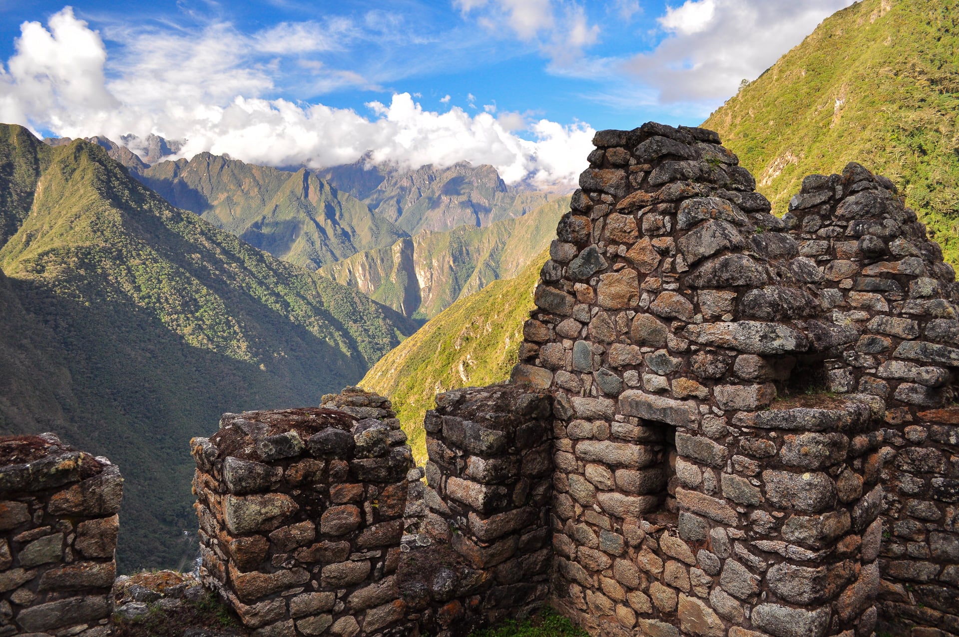
Inca fortress/check-point ruins.
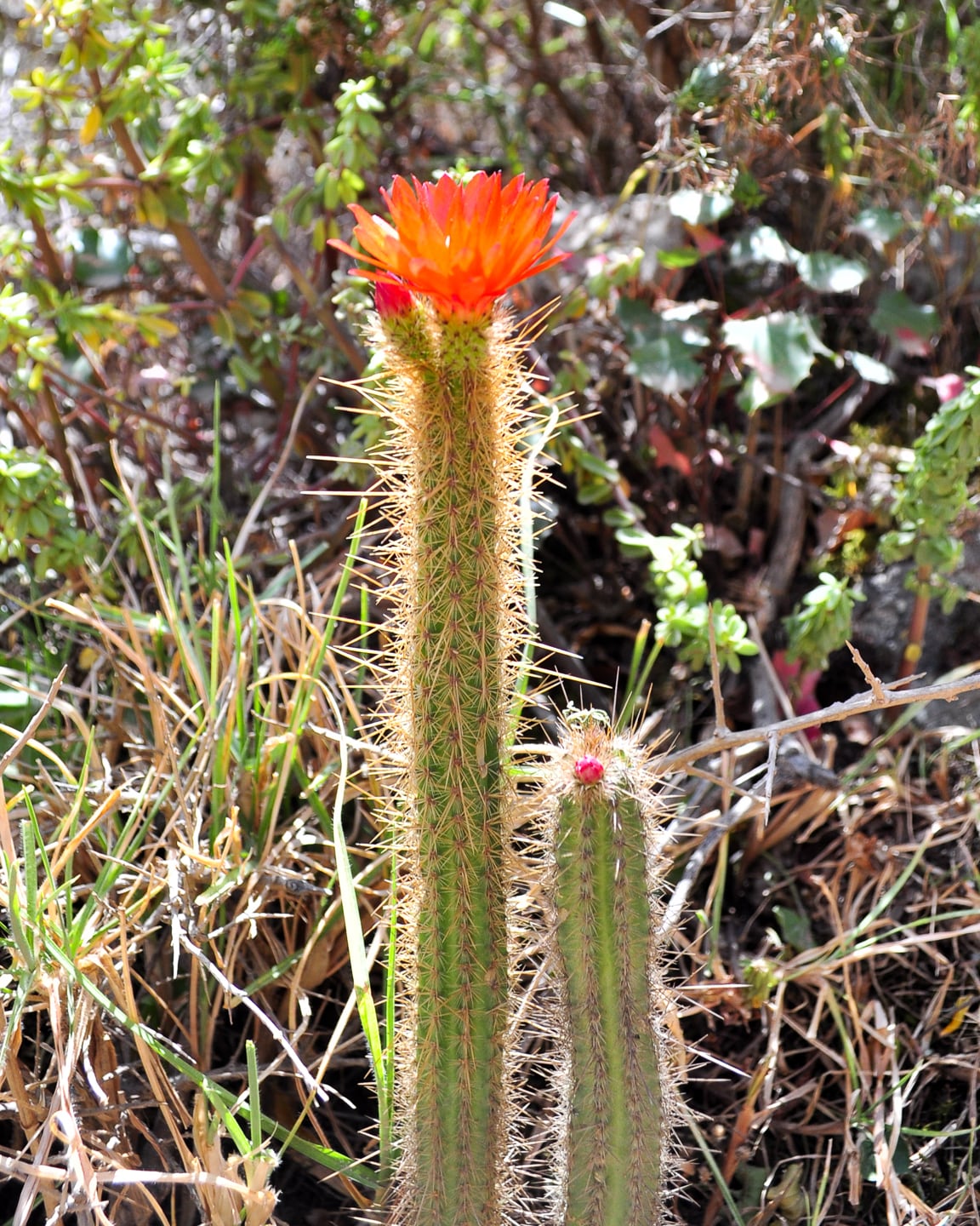
Andean cactus flower – if you happen to know what any of the plants on this page are or good resources for finding out, please let me know!
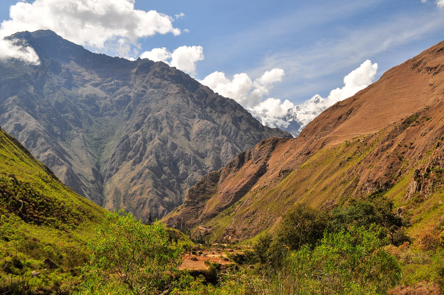
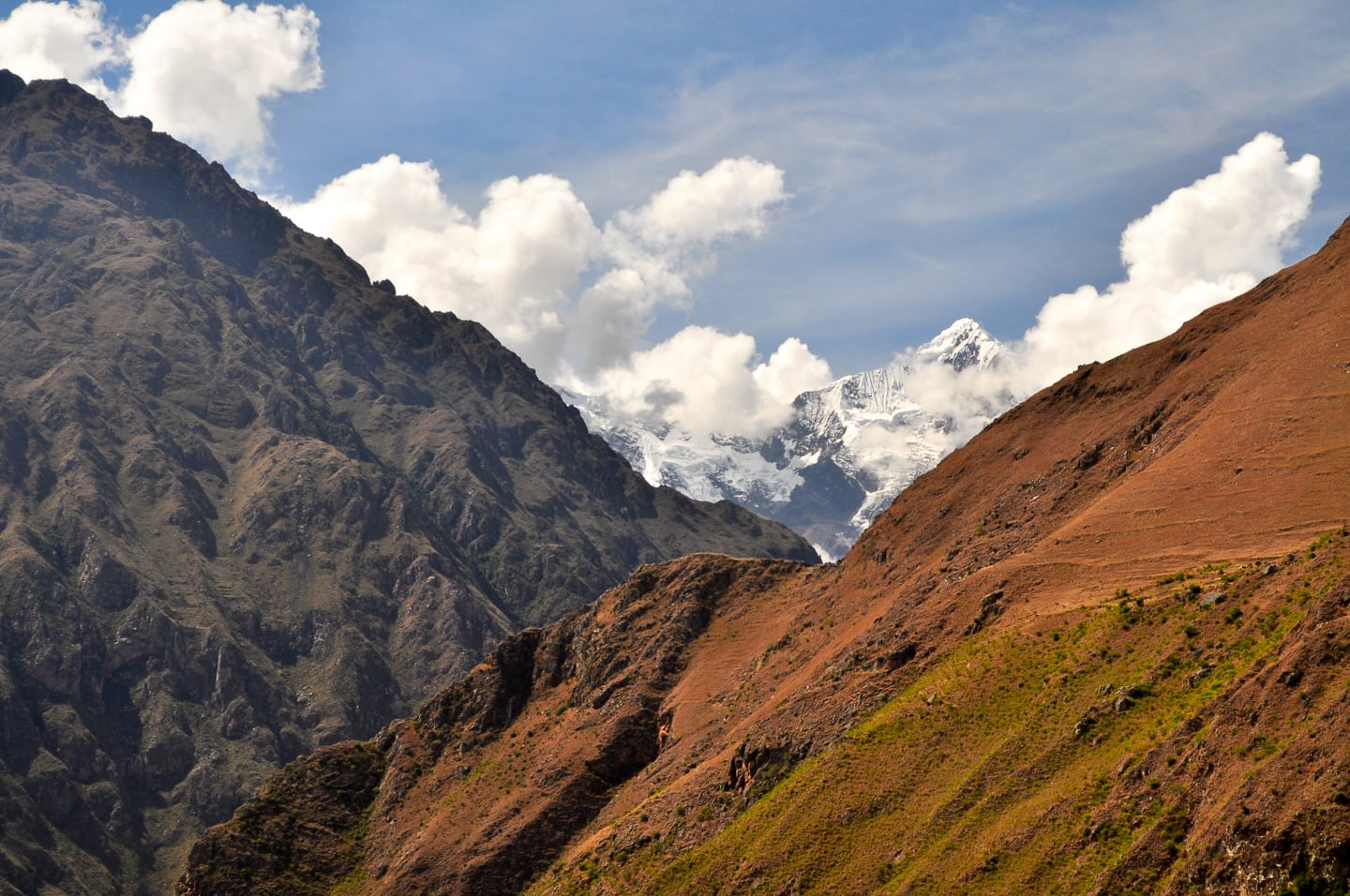
View looking back over the morning’s trekking with snow-covered Salkantay looming over the valley (a reminder that we were indeed in the midst of winter and that, despite the pleasant day-time temps, the night would be very, very cold) [Above].
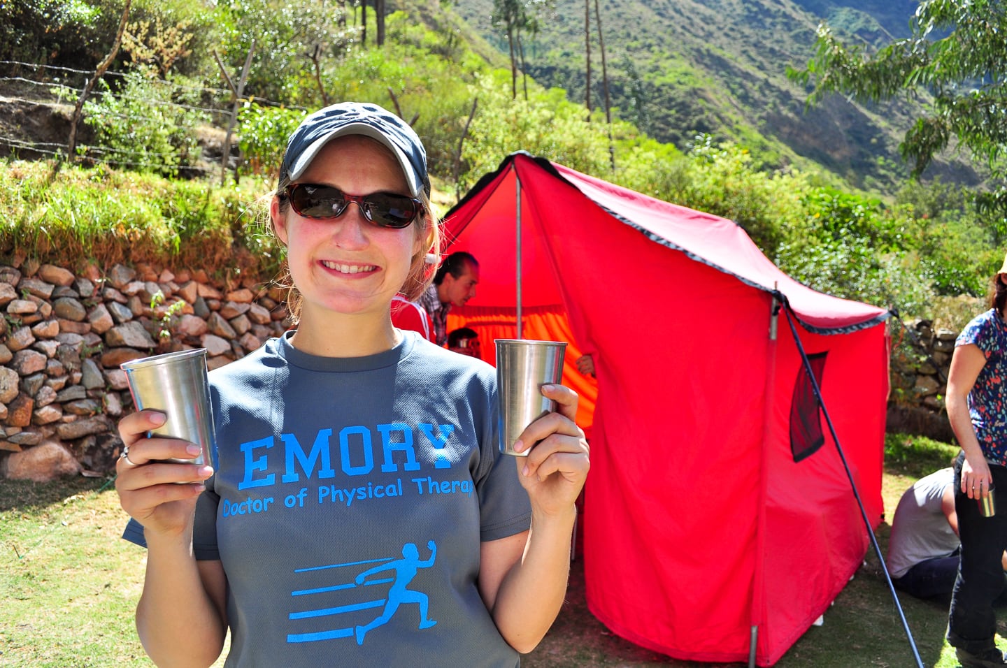
Lunch time at the village of Hatunchaca. Upon arrival we were welcomed with a round of applause from the porters and a round of Chicha Morada.
The food was amazing. They fed us multiple course meals, breakfast, lunch and dinner, with snacks and a “happy hour” an hour or two before dinner as well (and it was a very good thing as I don’t remember ever being able to eat so much or needing to eat so much in my life).
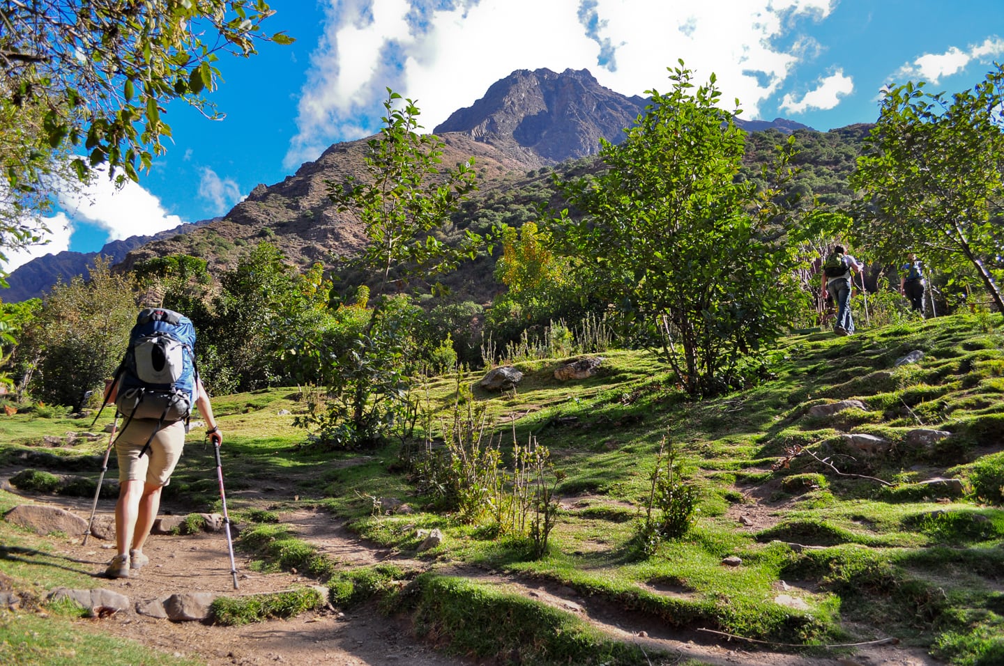
Well-rested and well-fed, back on the trail for a couple more miles to round out the day’s hike.
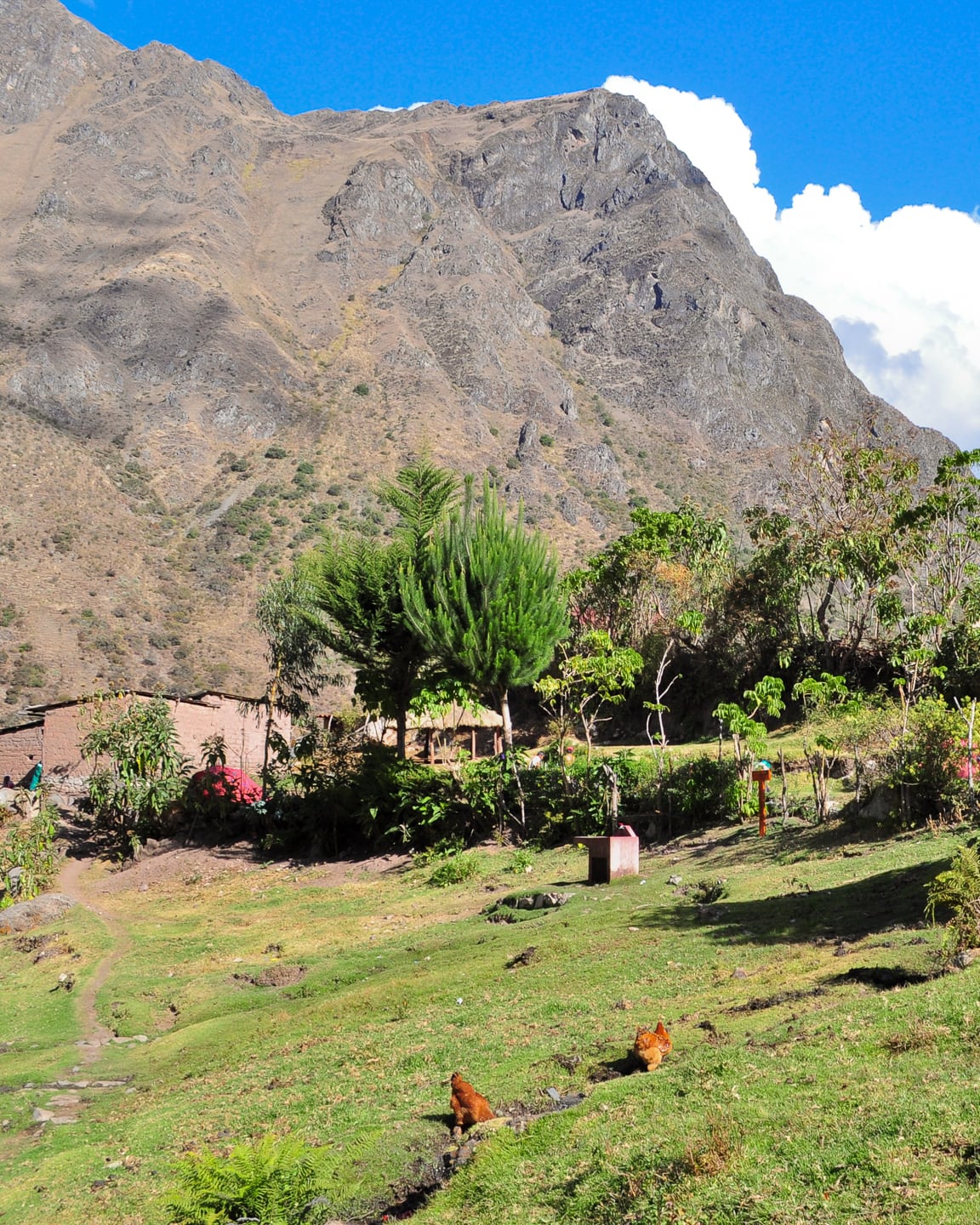
Village of Huayllabamba — last village/community on the Inca Trail.
Beyond this point lay only wilderness.
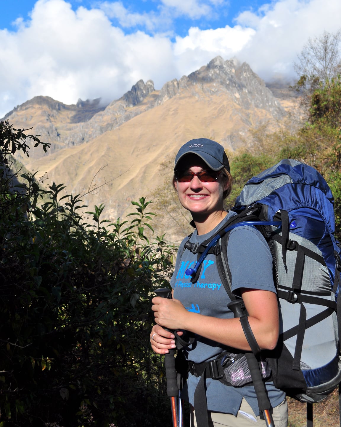
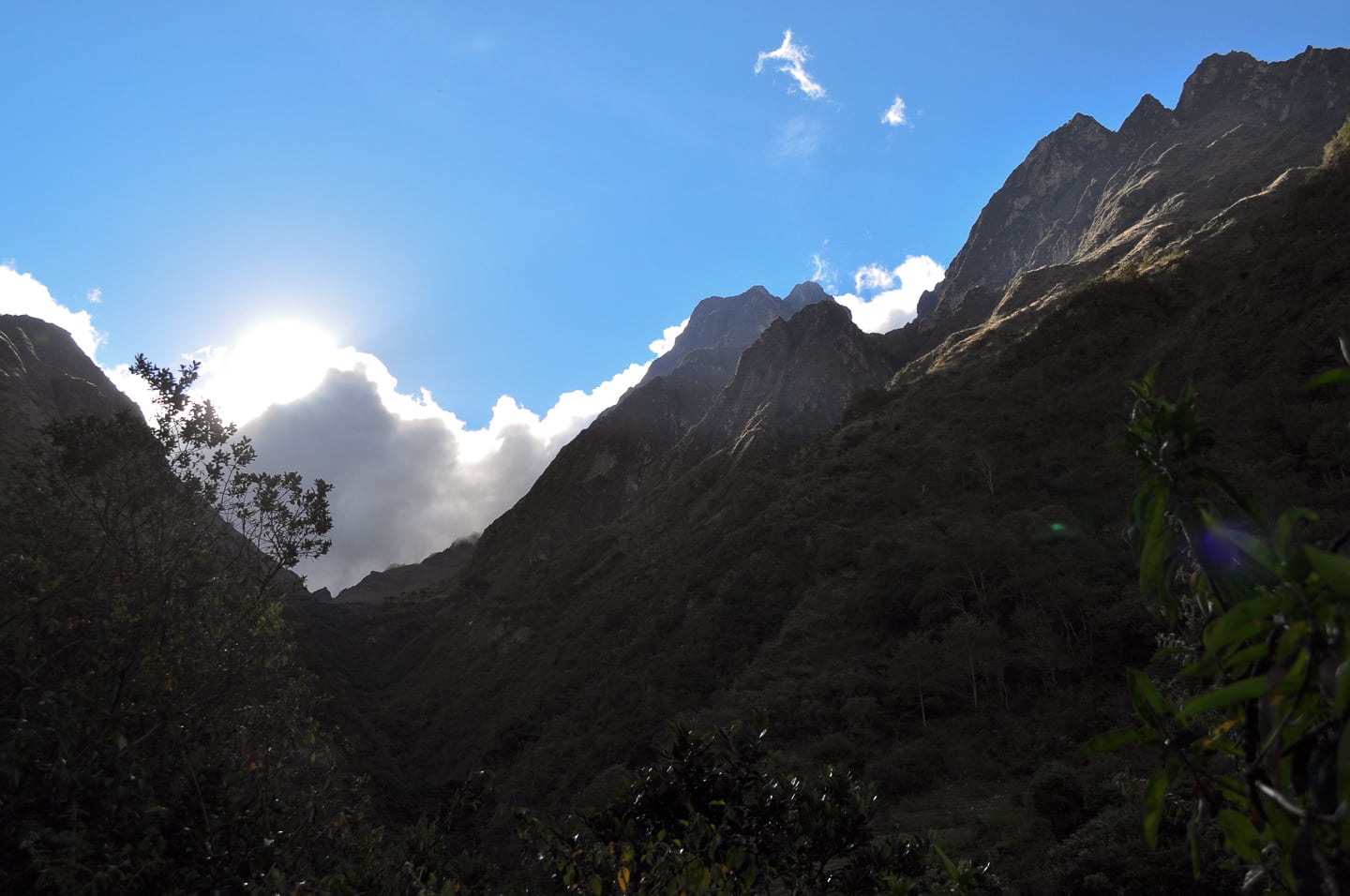
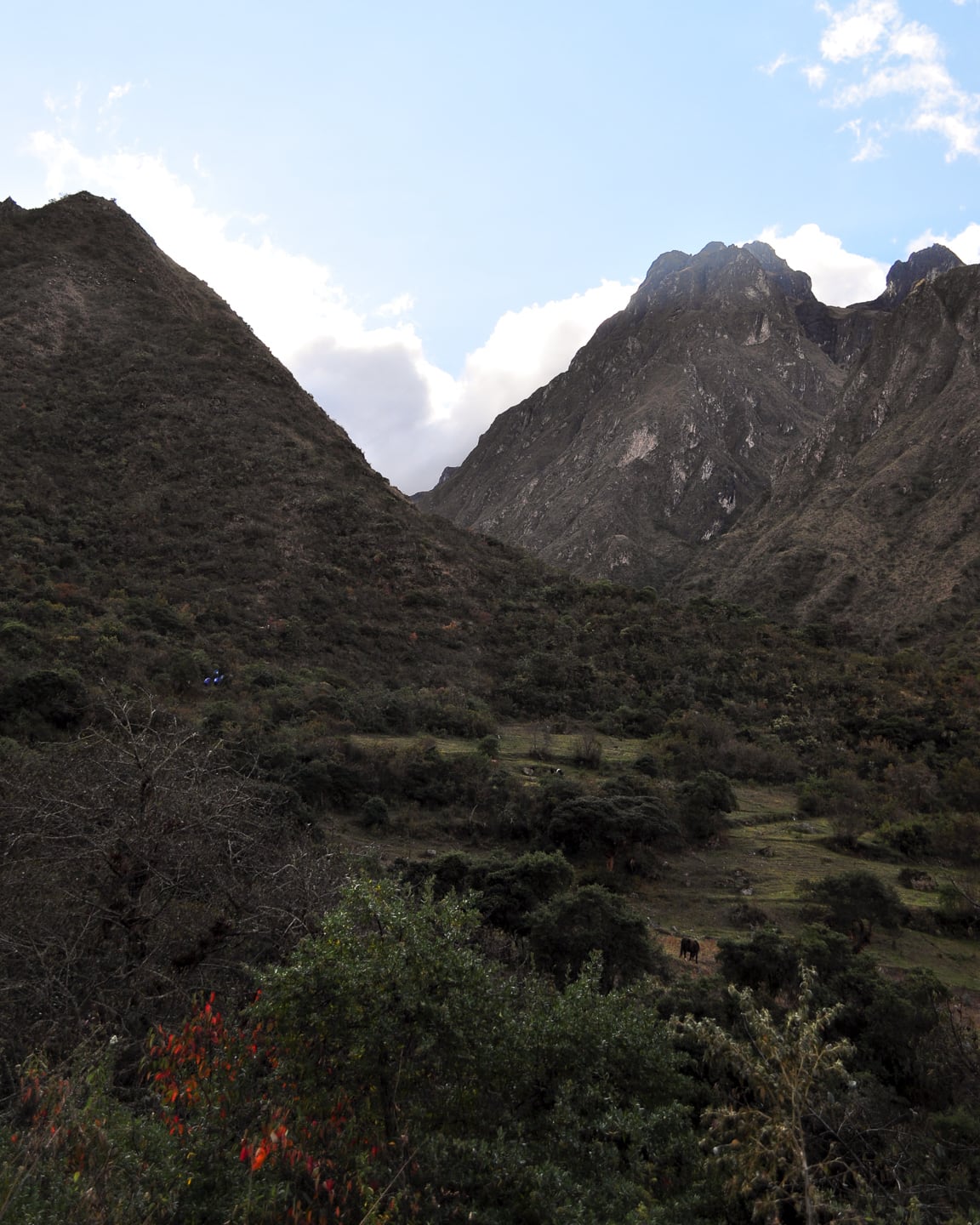
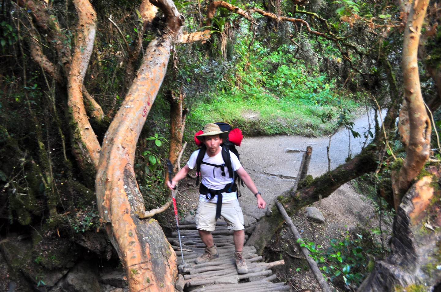
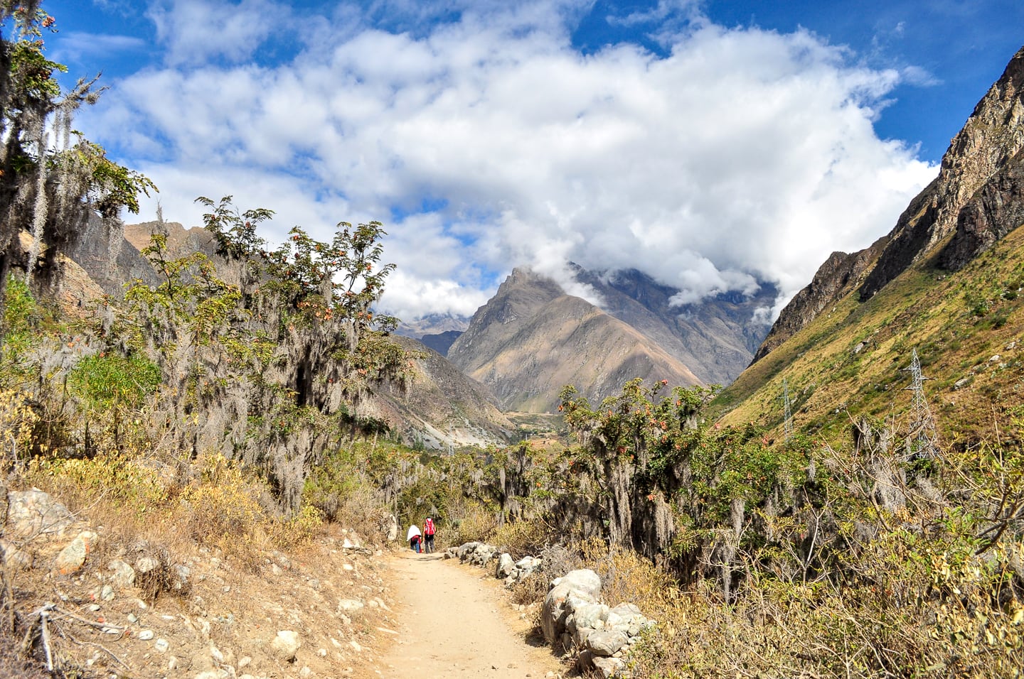
Over the four days of our hike, we constantly dipped into lush, jungle oases grown up around thin bands of springs, emerging soon after back into the sparse grasslands of the mountain trail.
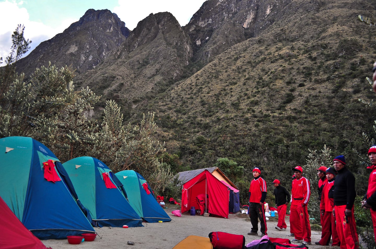
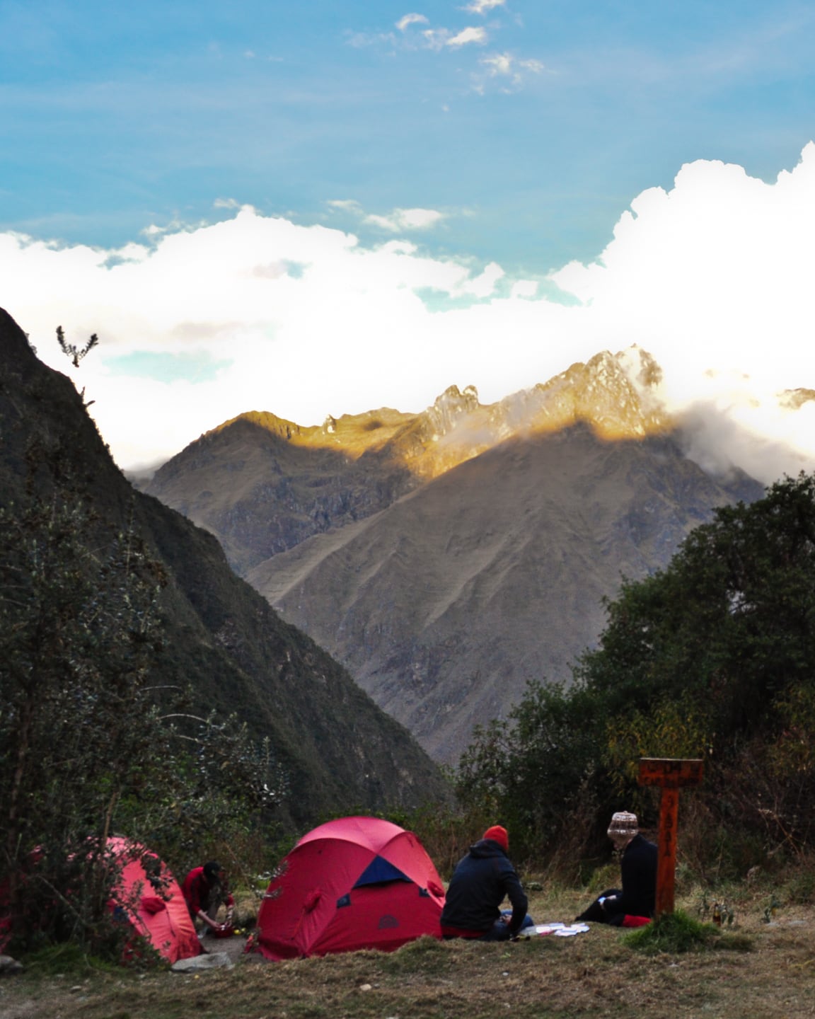
This photo doesn’t do the camp justice. This was a huge camp, accommodating several dozen trekkers, guides, and porters from several different trekking companies spread out over a hillside. This was our little enclave of the camp (which happened to be only a short distance from the facilities). All camps had restrooms with running water. Most did not have electric light and toilets were squat-hole style (headlamps are necessities).
After hiking the first day, I felt pretty grungy (it was pretty warm that day) and decided to take a cold shower with a hose and the soap they provided us, finishing up just in time for happy hour. After day one, mostly due to the colder temperatures, I didn’t feel the need to do this again until our return to Cuzco three days later. After my bath, I joined Lori in the meal tent, thoroughly enjoying “happy hour.” Here’s what she wrote in her original email home after the trek:
“I must add a bit about the happy hour…it consisted of the most amazing stovetop-popped popcorn (yes, like my grandma’s!). I was in heaven and David had to control my popcorn consumption so I wouldn´t spoil my appetite for dinner.”
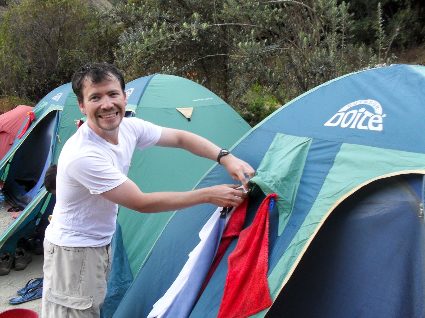
Returning from a frigid hose shower at high altitude after a 12km Andean hike. Very refreshing.
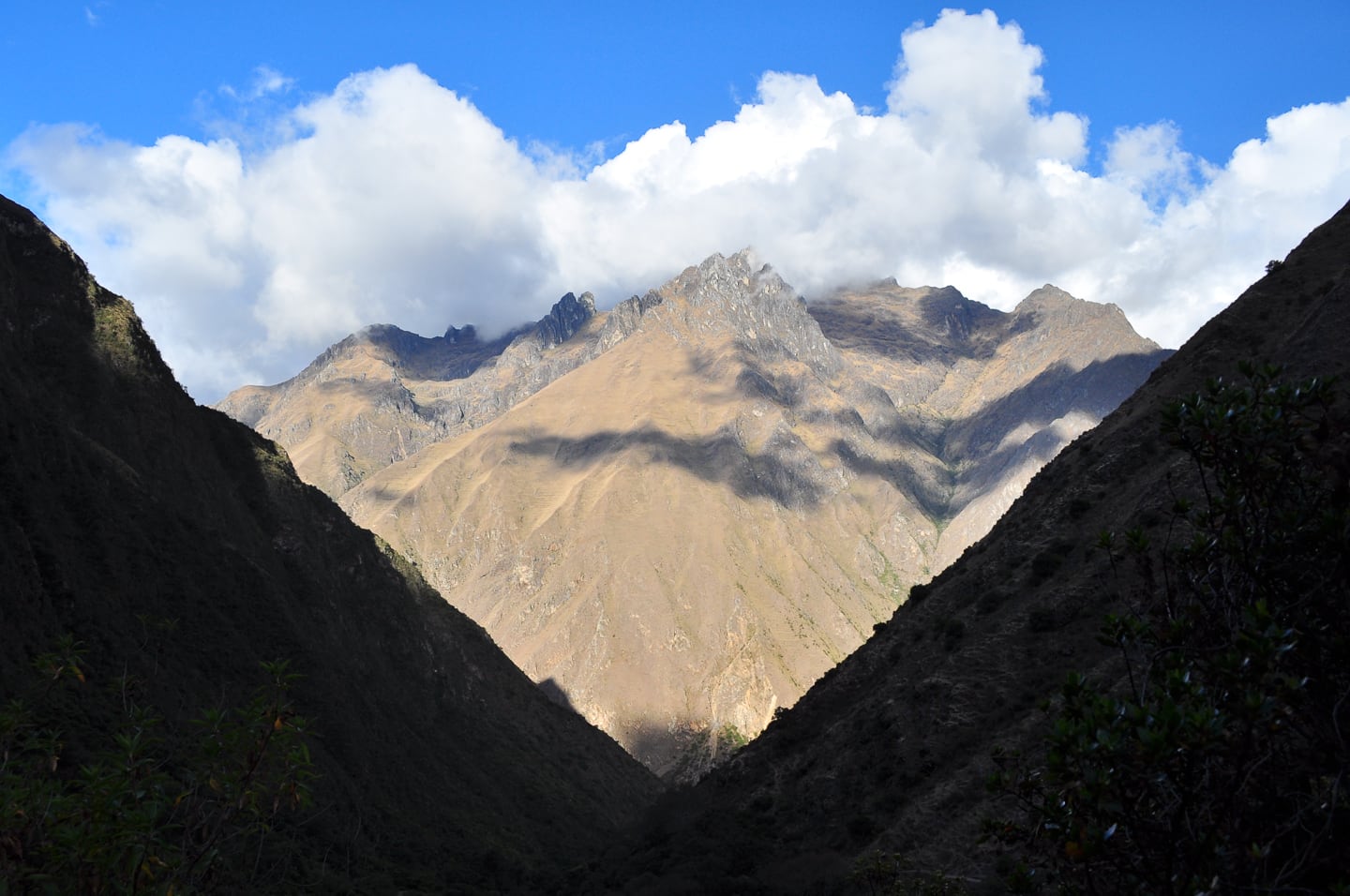
View from camp.
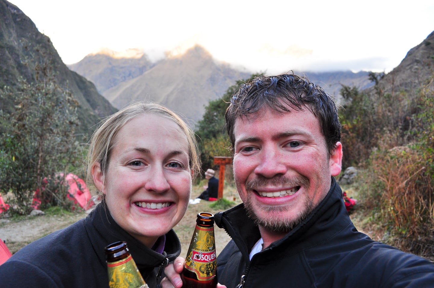
And beers!
We were greeted by a beer lady at camp after the first day of hiking. We’re not sure if she carried them up on mule or on her own back, but she charged a premium, which trekkers were more than happy to pay. As the terrain intensified over the next couple of days, we would not have the opportunity to purchase beers again until the last night.
