The rim loop trail around Lake Quilotoa is 7.5 miles with a maximum elevation of 12,800 feet. And yep, it’s not your average walk in the park.
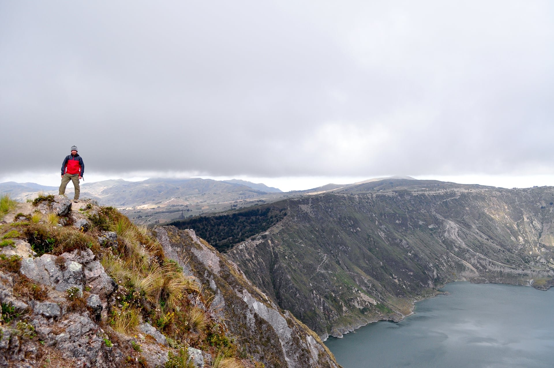
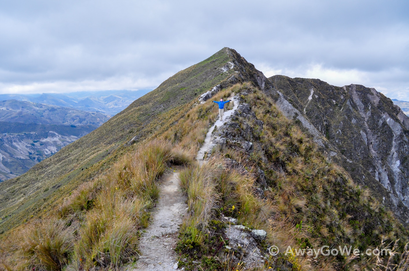
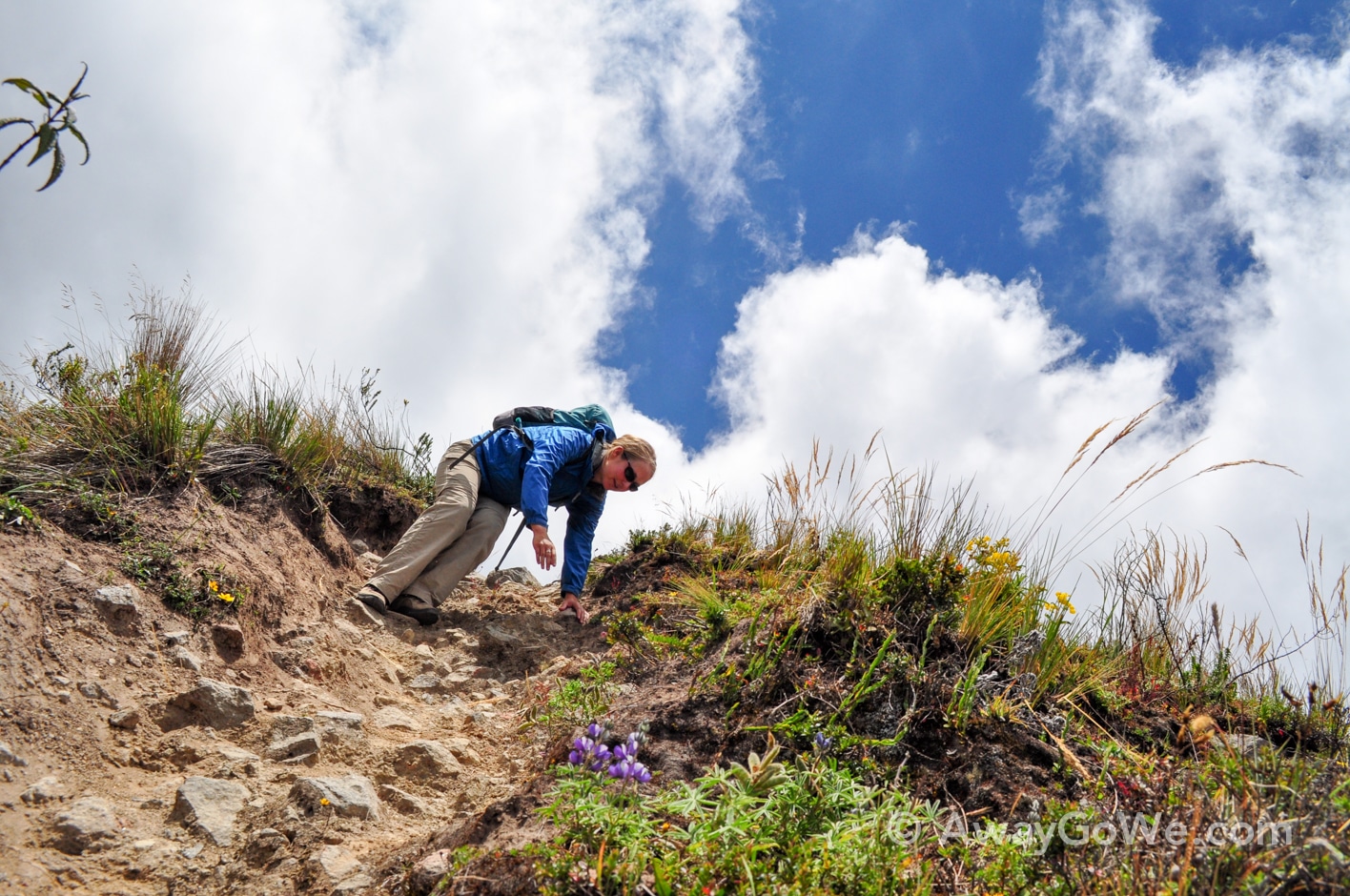
For one, the rim is actually a series of sawtooth-like rises and descents, steep and loose for most of the distance.
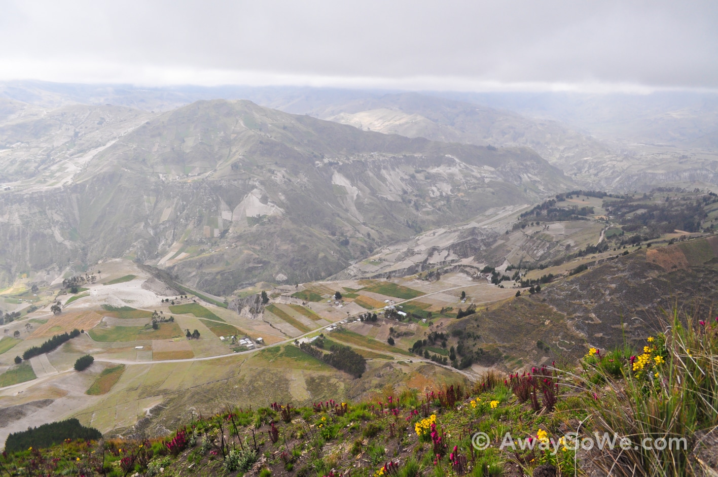
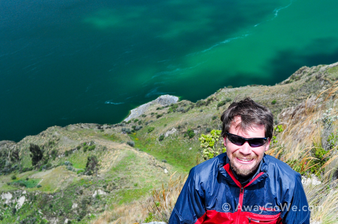
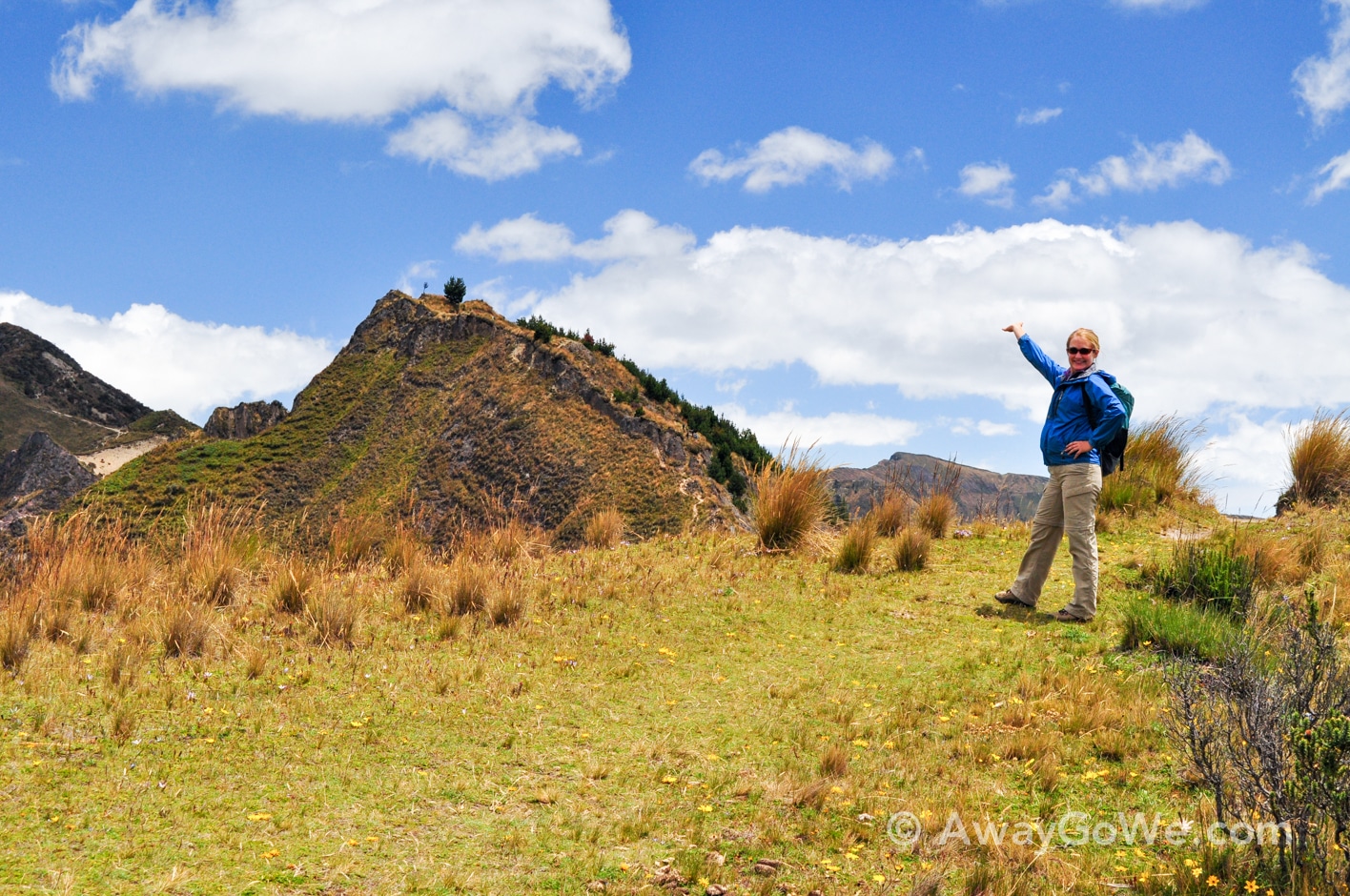
It was also very gusty and pretty darn cold, which I suspect is not out of the ordinary for this hike. But the views were absolutely incredible at every turn!
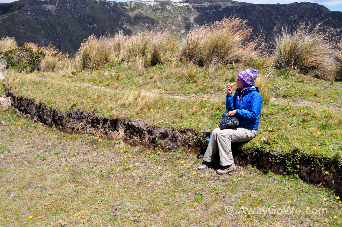
We tackled the hike in a counter-clockwise direction, starting and ending at Quilotoa village. It took us about six hours, including a stop for lunch.
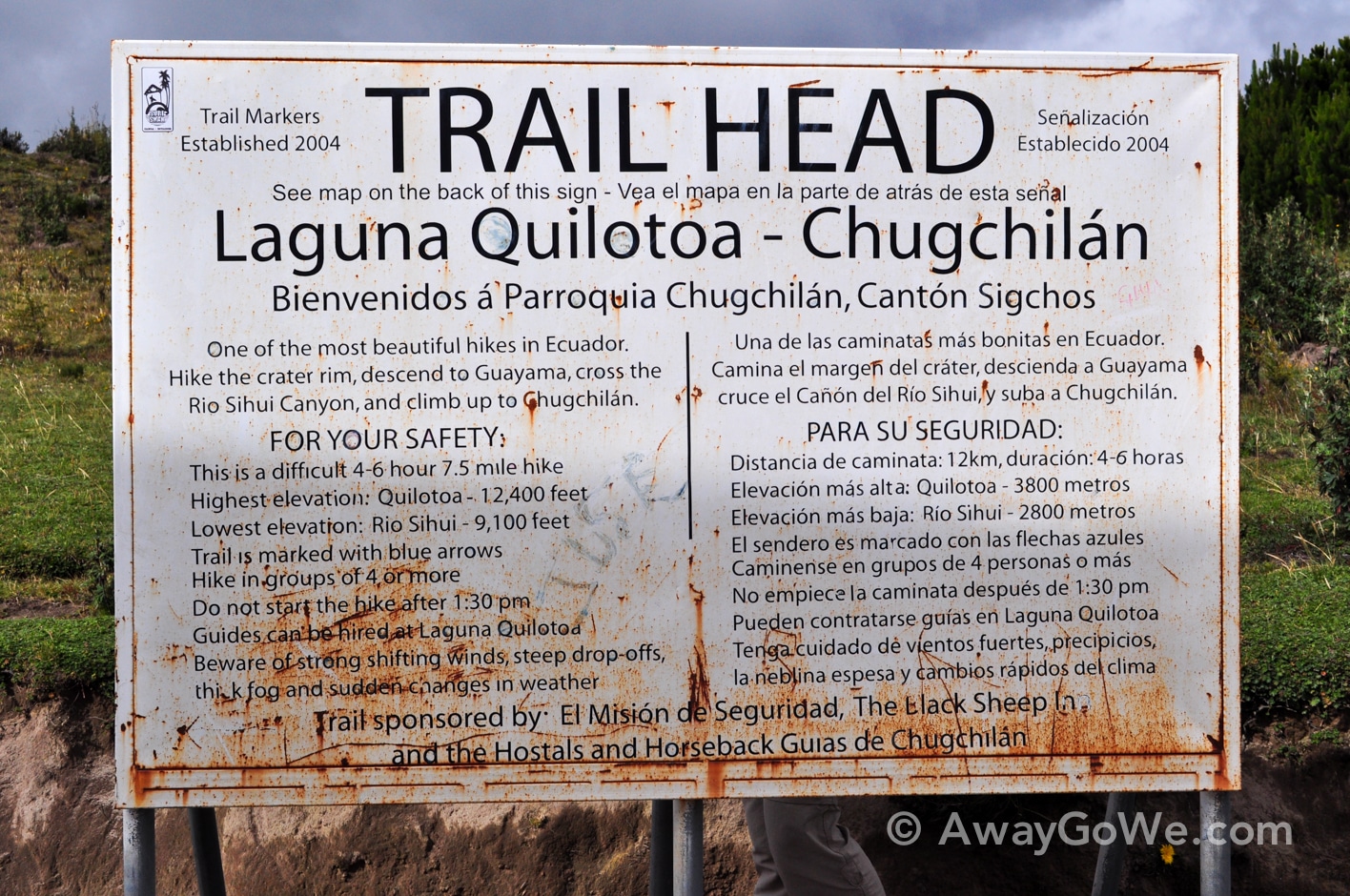
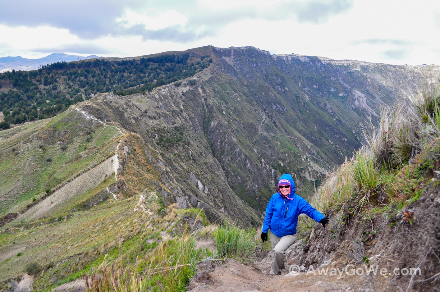
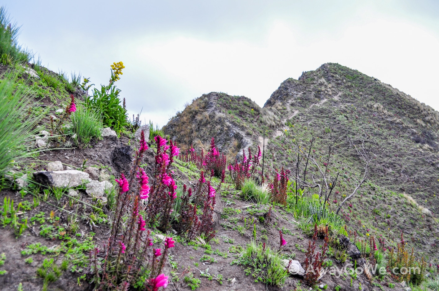
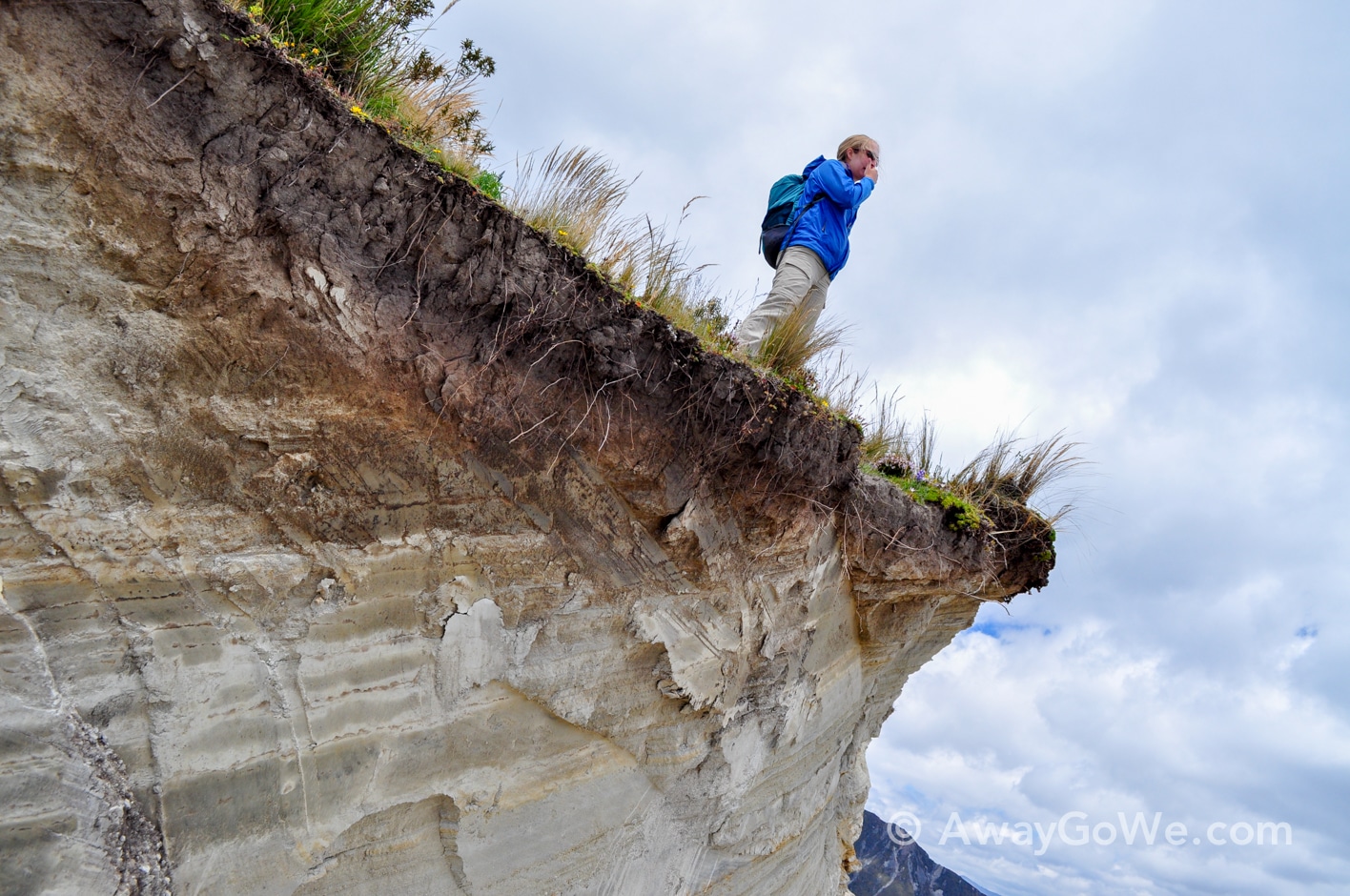
The photo above gives you a good idea as to the nature of the rim trail throughout most of this hike — it’s a narrow footpath at the very crest of an often sharp and precipitous drop taking you up to the top of a rise and back down again.
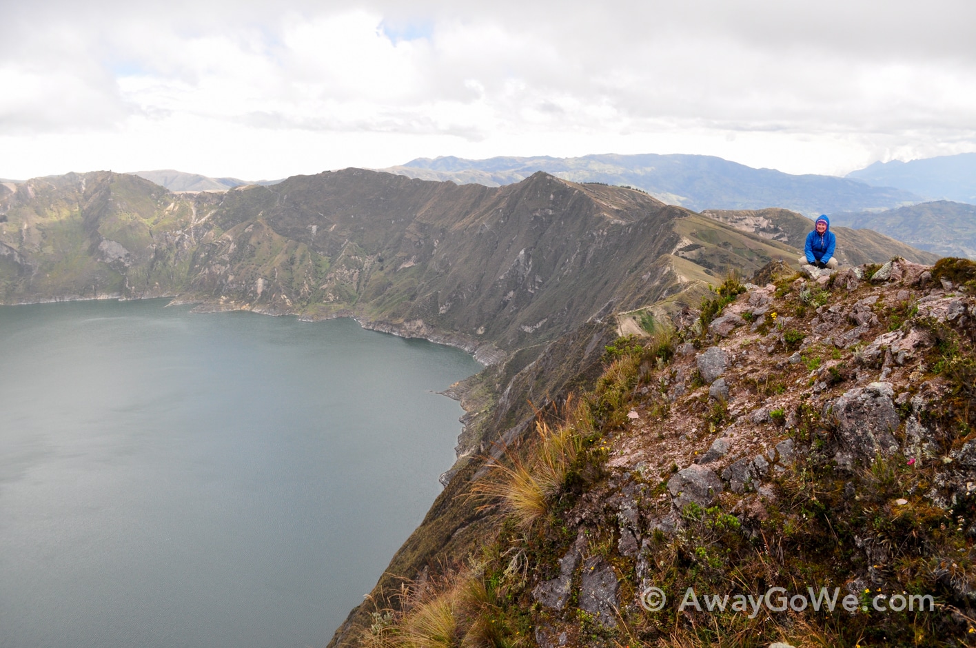
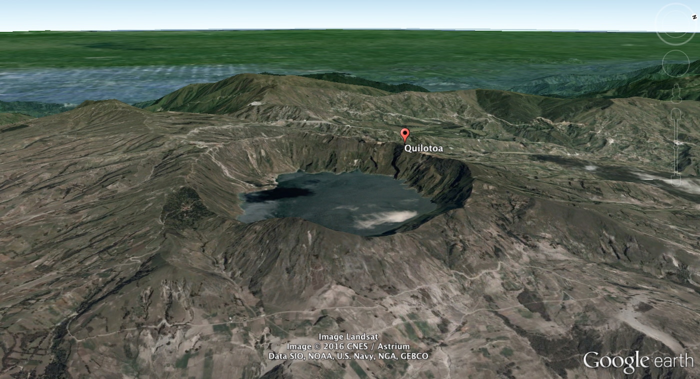
The lake, itself, was formed after a catastrophic VEI-6 eruption formed a caldera about 800 years ago, which subsequently filled with water to a depth of 820 feet.
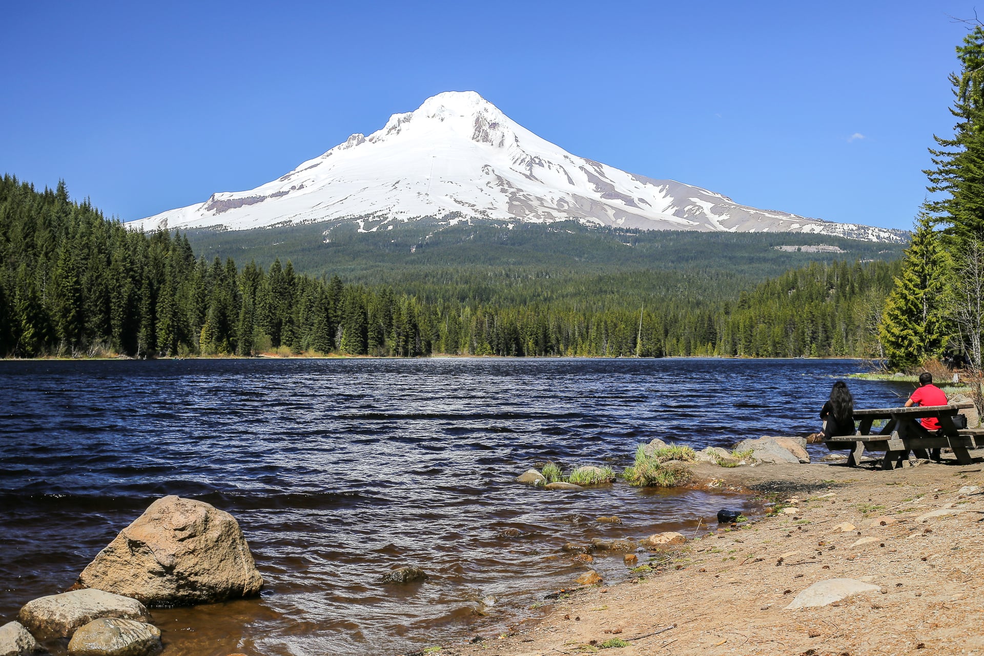
A VEI-6 eruption is about 10 times more powerful than that of Mt. St. Helens in 1980, but about 10 times less powerful than the eruption that created Oregon’s Crater Lake.
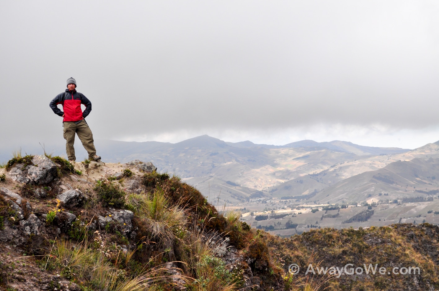
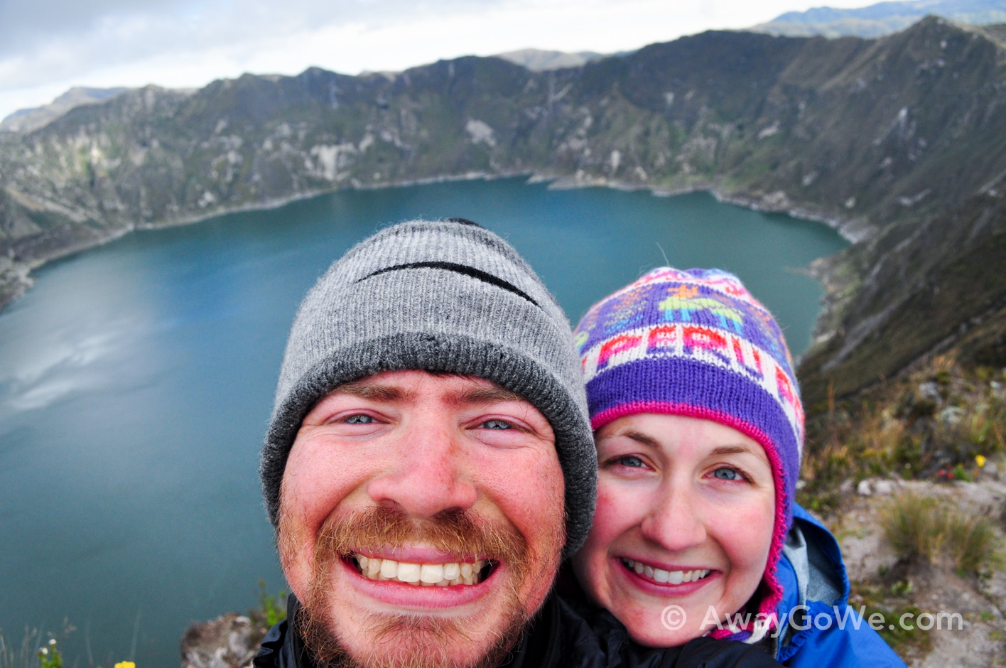
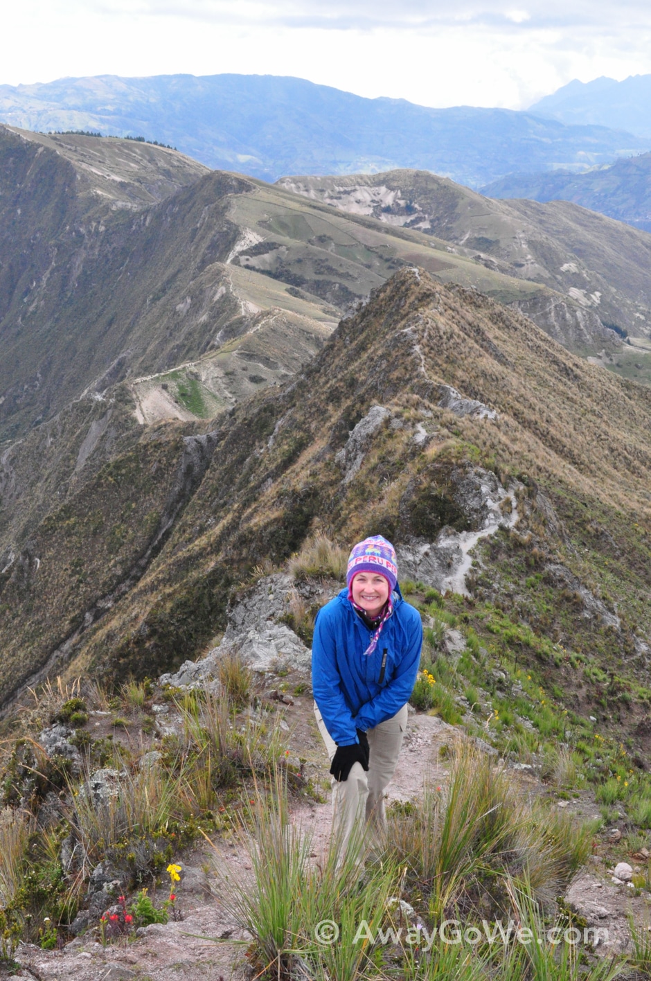
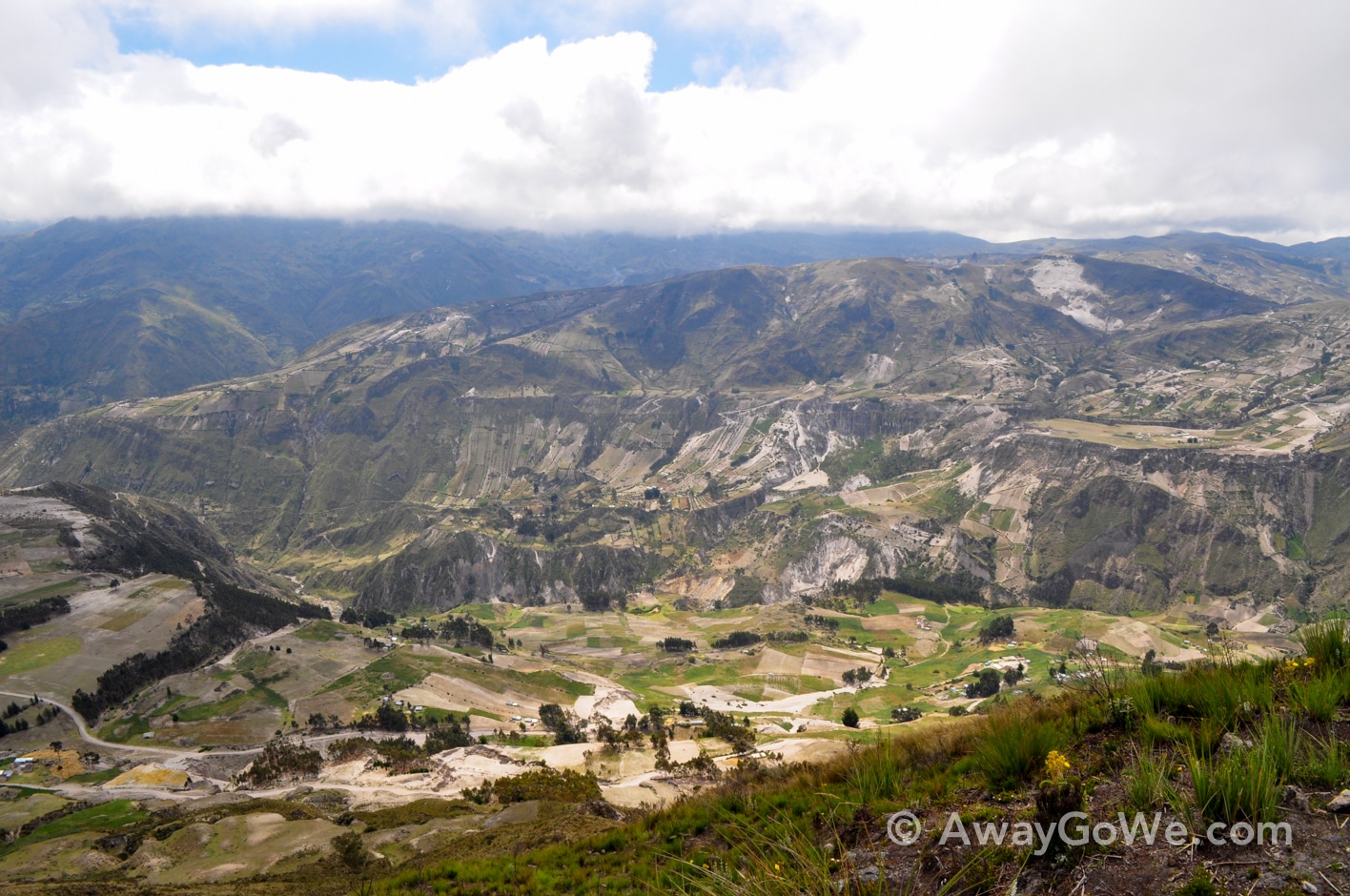
Thankfully, conditions were bone dry, so while the path was loose, it was generally manageable. Yet, some stretches were painstakingly slow and precarious.
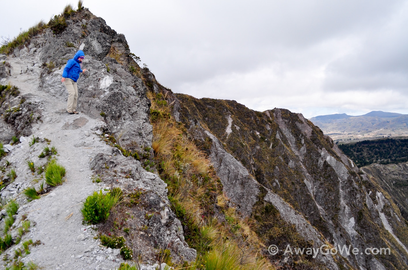
Other stretches were much kinder to us, allowing us to enjoy our surroundings, which were pretty unique.
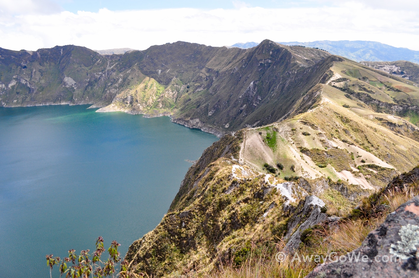
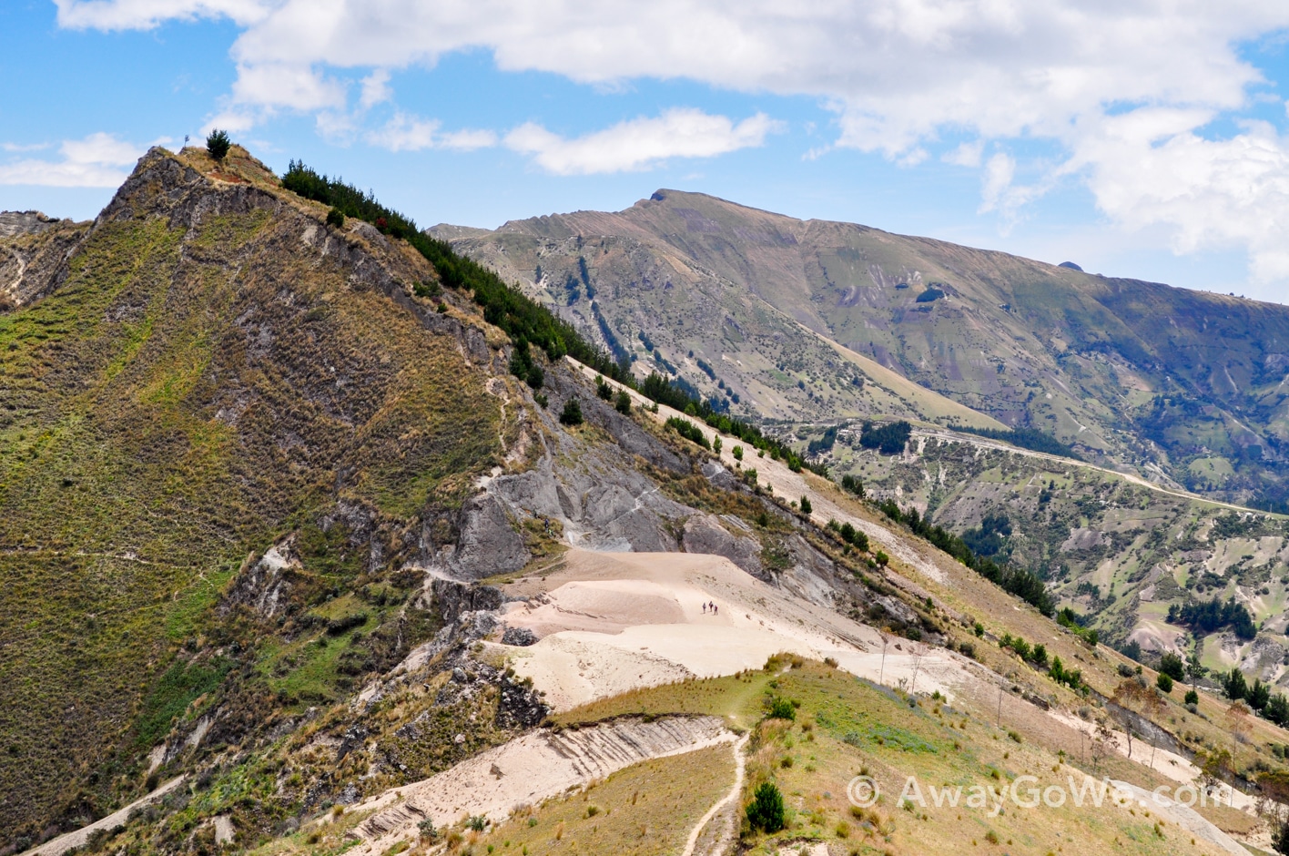
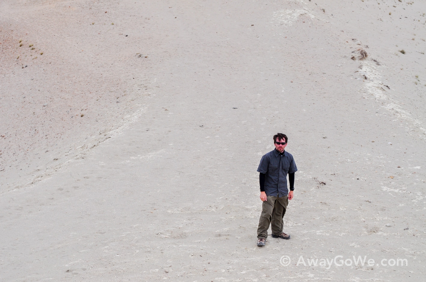
A little more than halfway through, we came upon this unusual stretch of the train (above). A segment of vast nothingness. Sandiness amidst granite and green.
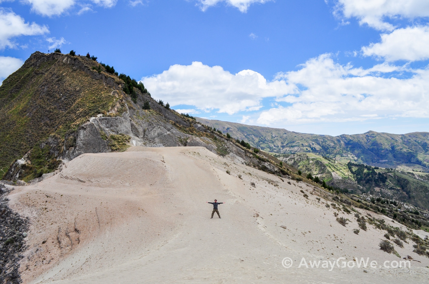
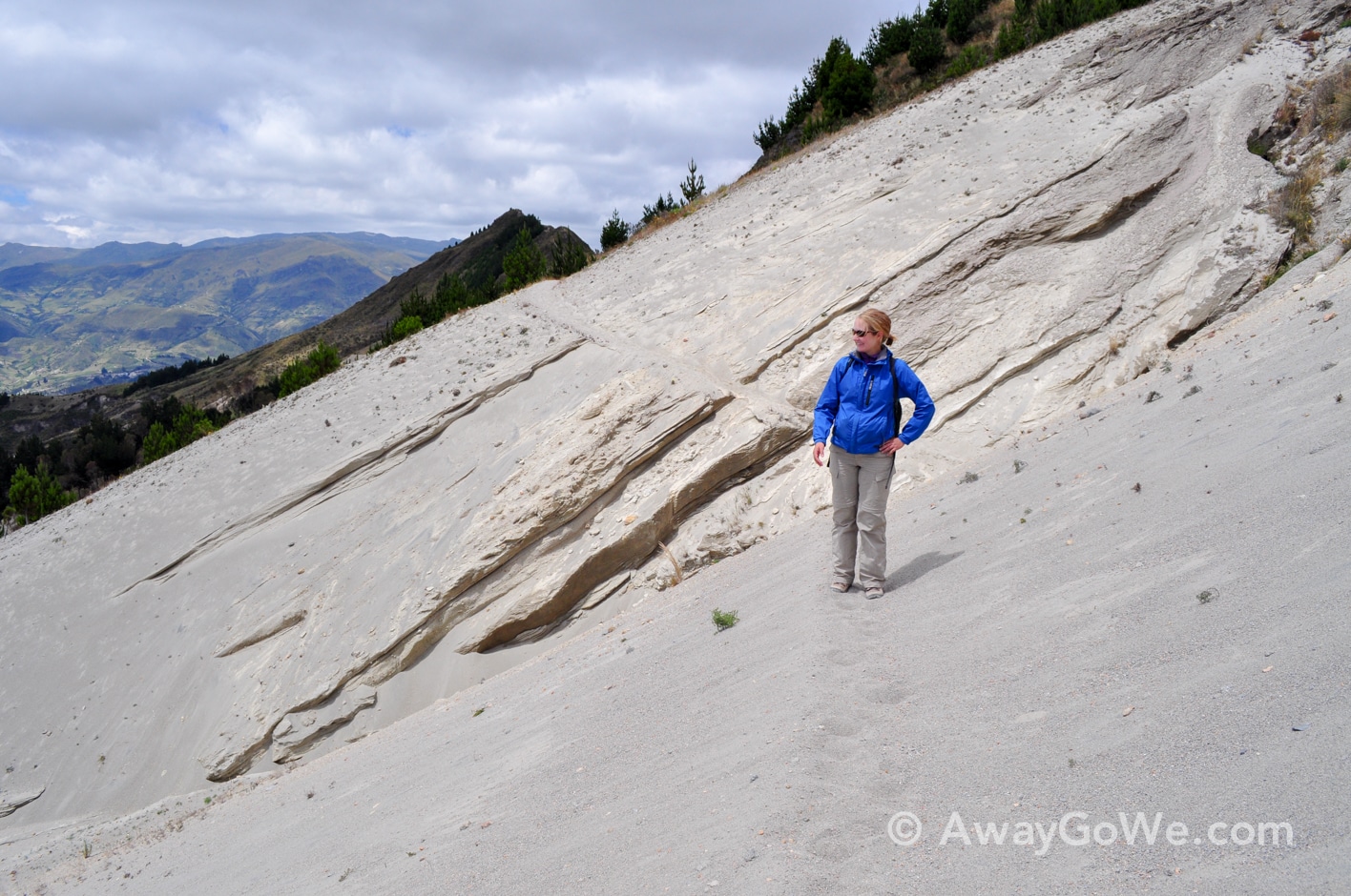
While strenuous, we felt completely in control and comfortable over about 80% of the route. There were certainly some touch-and-go spots, but nothing too terrifying…until we got near the end.
The winds were buffeting us around quite a bit and the trail was becoming increasingly difficult to spot.
Then, all of a sudden, we came upon a 15-foot long section only about a foot wide–I was too preoccupied with mounting the obstacle to snap a picture, but there was basically a steep granite wall on the right, and a 1,400 foot drop–straight down–on the left.
“This can’t be the trail, right?” we asked each other about a dozen times. It had to be.
I don’t consider myself afraid of heights, but at this moment I thoroughly was aware of the consequences of failure.
But there were simply no other options, no alternative routes above and definitely nothing below. We had been hiking for over five hours, and the sun would be setting in a few more. Turning back was not an option. We just had to do it.
I went first, quickly but very deliberately shimmying my way across the section, feeling in vain for anything along the wall that I could grab on to in case of slippage or a rogue gust of wind. There was nothing, of course.
Safely on the other side, I drew a huge sigh of relief and gave Lori a signal to wait until the wind died completely. As heart-pumping as the maneuver had just been, nothing prepared me for how terrifying it would be to watch Lori do the same, knowing fully that there was little I could do to ensure that she got across the safely, but pray.
As you may have assumed by now, based on the fact that Lori has appeared in numerous adventures since our time in Ecuador, she made it across safe and sound.
It was certainly a huge relief to be looking back from the other side of the narrow passage, but our hike was not quite over yet.
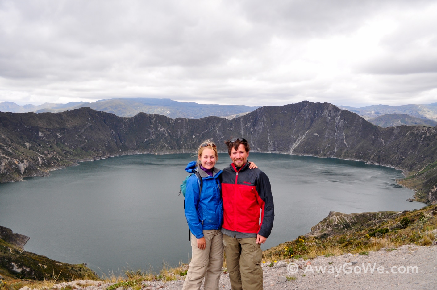
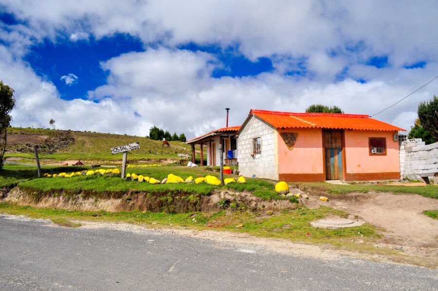
About an hour after facing down death, we returned to our warm guesthouse, exhausted and looking forward to resting up.
A long journey back to the main highway, then onto Otavalo awaited us in the morning.
