Pha Ngeun rises conspicuously to the west of Vang Vieng town, viewed clearly from the only all-season motor vehicle bridge in the area. From the bridge, it’s an easy 2.5 mi (4 km), 10-min drive on good road to the trailhead parking lot.
Thinking of hiking Pha Ngeun?
We’ve included some helpful information about the hike at the end of this post.
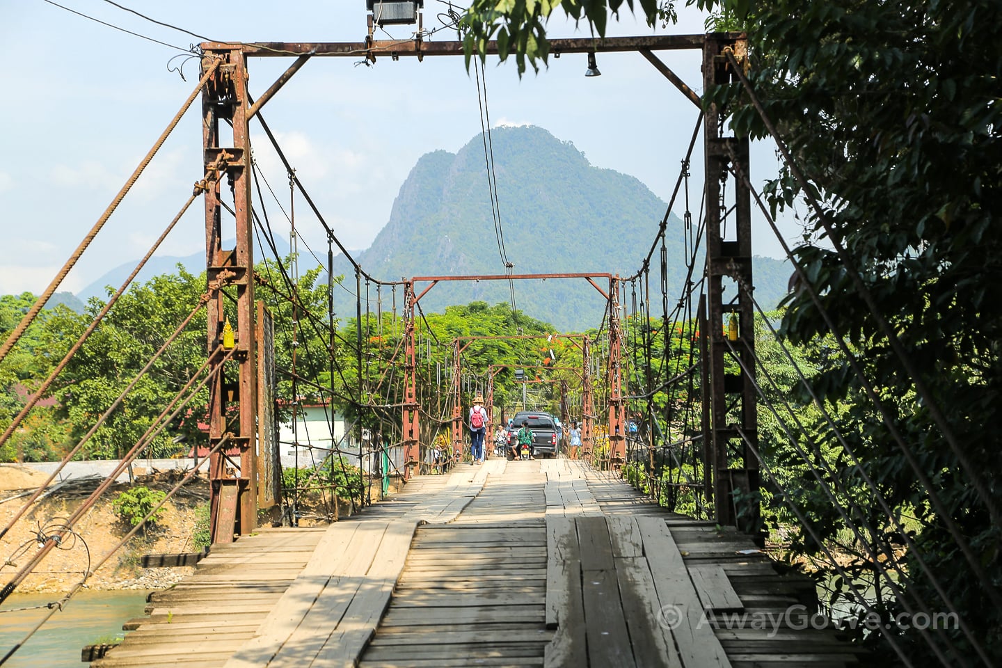
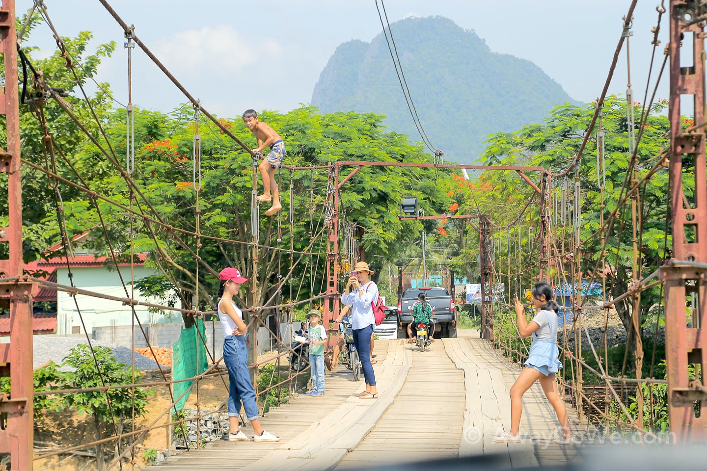
There was a bit of a traffic holdup on the bridge. Oh, Vang Vieng…
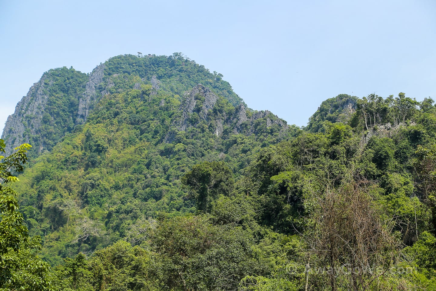
When we arrived at the parking lot, we got our first close-up glimpse of where we’d be hiking to. Despite what we had read about the hike, there are indeed TWO different lookout huts that you can climb to on two different peaks. “House 1” as it’s called, is the tiny little shelter on a lower precipice in the center of the upper third of the photo (above). “House 2” is barely visible at a 10 o’clock angle (from House 1) on the summit of the highest peak.
We had read multiple accounts that the climb to the lookout was a strenuous 30-40 minute hike on a well-maintained trail. The estimated time was supported by the trailhead sign that said “500m” (1/3-mile).
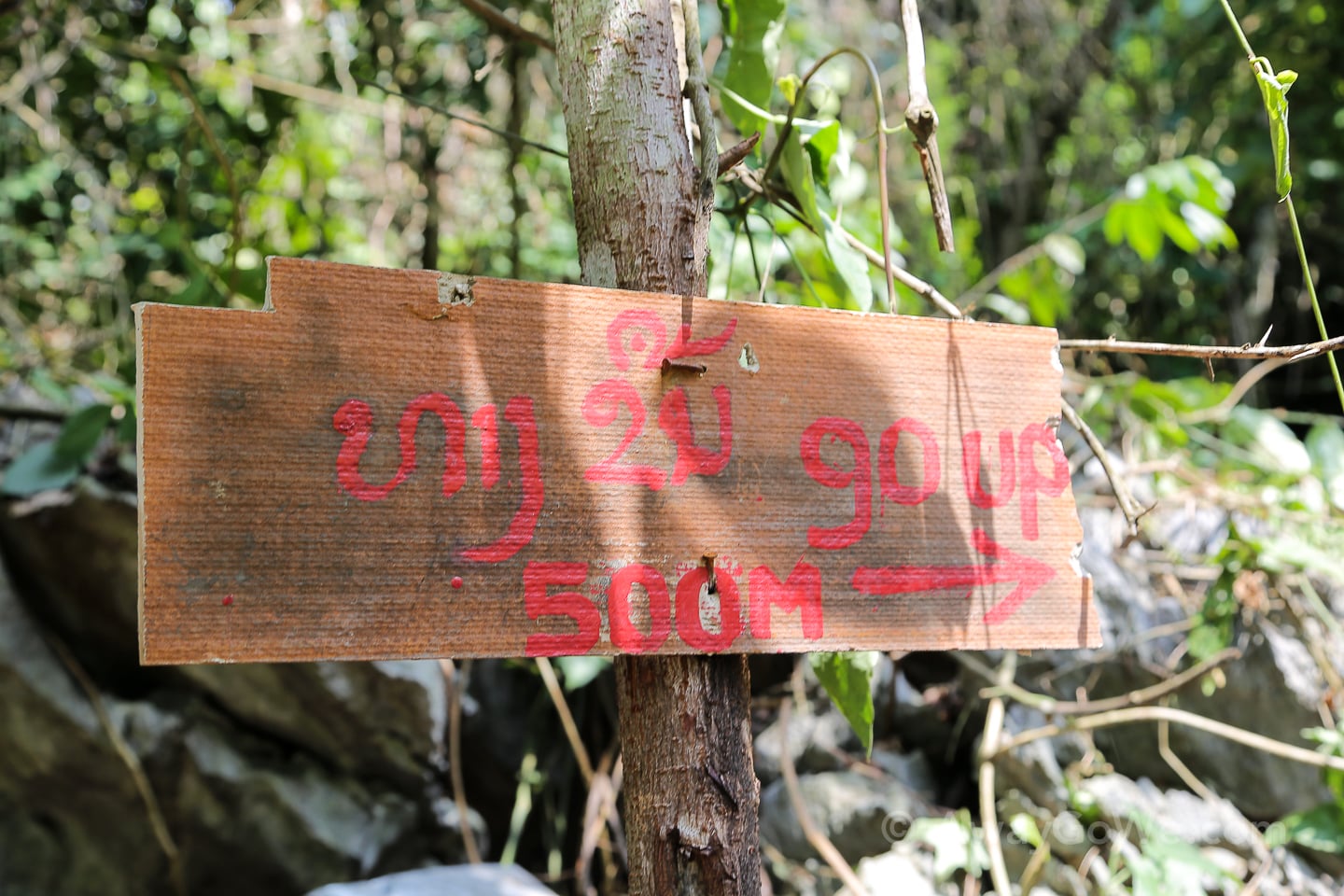
Yes, the lookout looked farther than a 1/3-mile hike. Yes, it was very hot and humid. Yes, we were packing an 18-pound baby. Still, based on the information we had been given, we knew we’d be in for a tough workout, but it still seemed reasonable that we would make it to the top in the allotted time.
Consequently, we drank a bunch of water from a water bottle in the car and took one plastic bottle to share between the two of us to lighten our load. We had also been told that refreshments were sold at the top, so we had that for backup. With that, we started up the path.
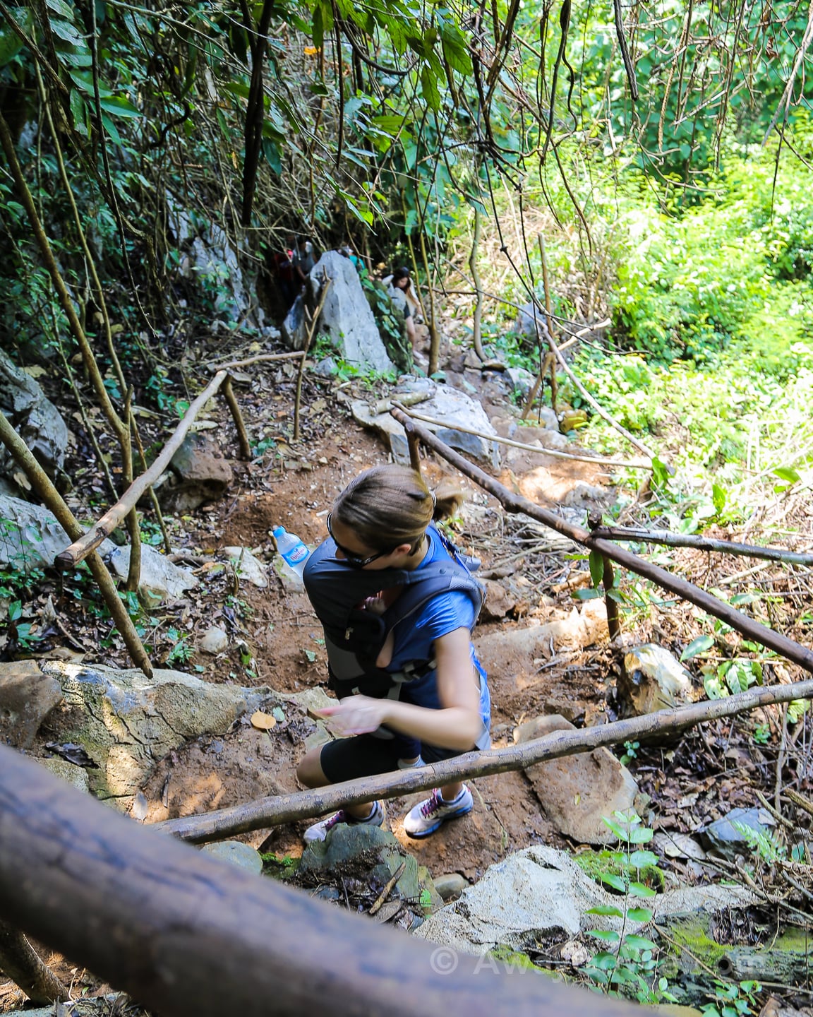
And a mighty steep path it is. It was clear, however, that this was a frequently maintained trail, and even appeared to have been worked on very recently. We had no idea just how recently until we came upon multiple maintenance crews actively putting up railing and cleaning up the stone and clay steps. Up and up and up we go!
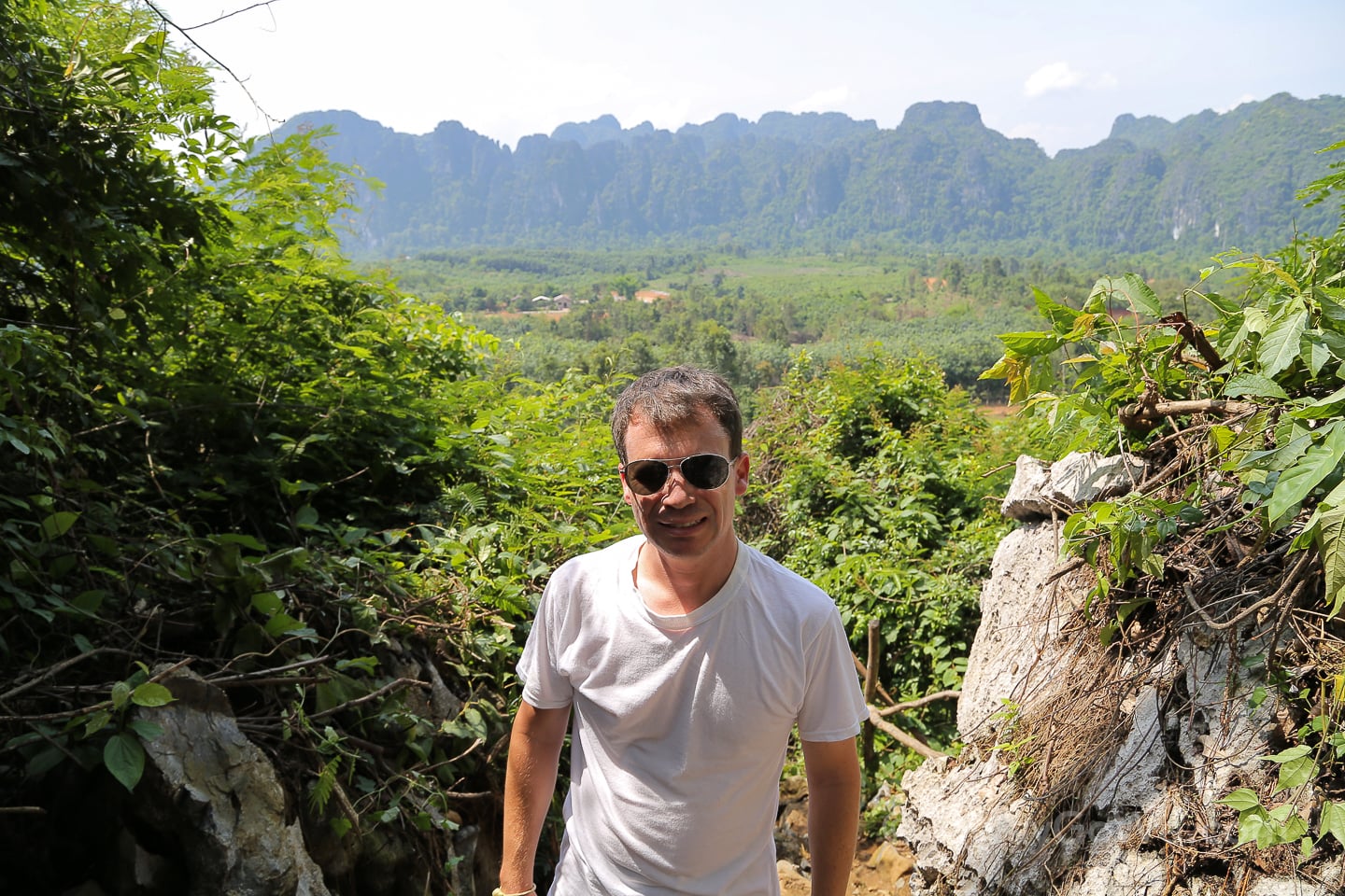
Thankfully, most of the trail is shaded, with the exception of a couple of stretches that offer nice views of the surrounding countryside and mountains — shaded hiking trails make a huge difference in the tropics, as you might imagine, particularly if you are like us and hiking in late morning during the hottest time of year — Noe’s “schedule,” not ours.
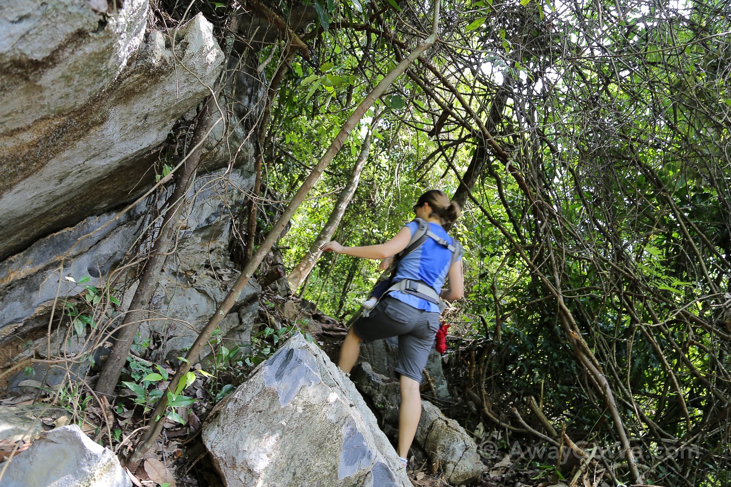
For the most part, I was very impressed with the trail. It struck me as the most legit trail we’ve hiked on so far in Laos, which I have mixed feelings about. One of great things about Laos is that it is still very much a wild, undeveloped, and largely untouched place where real adventures can still be had (and real dangers still lurk). I’ve really enjoyed our off-the-beaten-path explorations here, but it’s nice every once in a while to do some a bit more touristed and clear-cut. And, here we are on a Sunday and nary a hiker on the trail. Try to find that within an hour of Portland on a dry weekend!
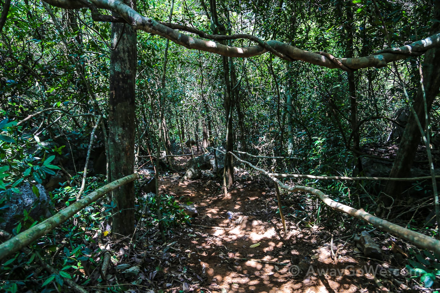
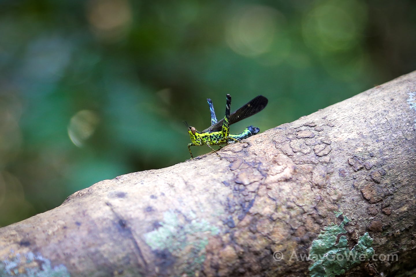
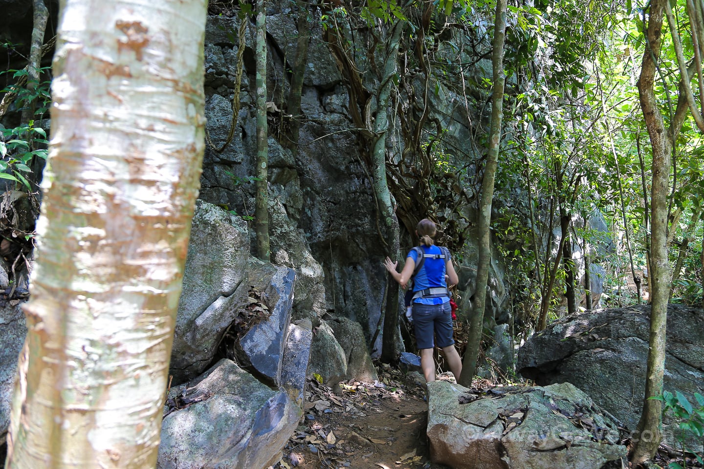
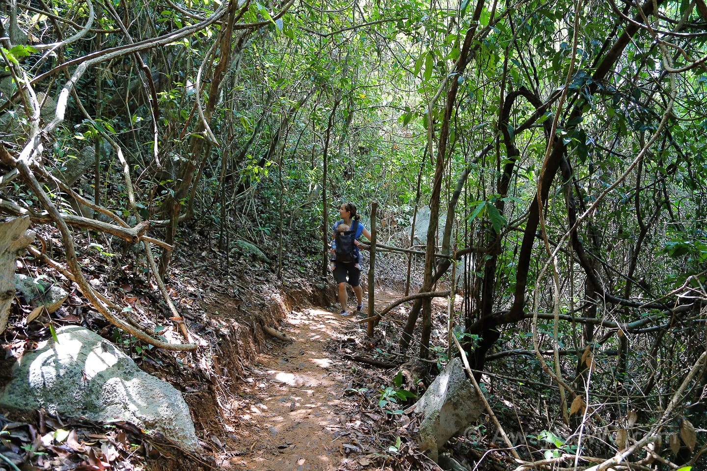
I happened to be tracking our hike with my phone and started to grow skeptical when I heard the one-mile alert — it appeared we still had a lot of elevation to cover. For the past 15 minutes we had been expecting to round a corner and get a clear view of the climb up to House 1. Come to find out, that view was still a ways off.
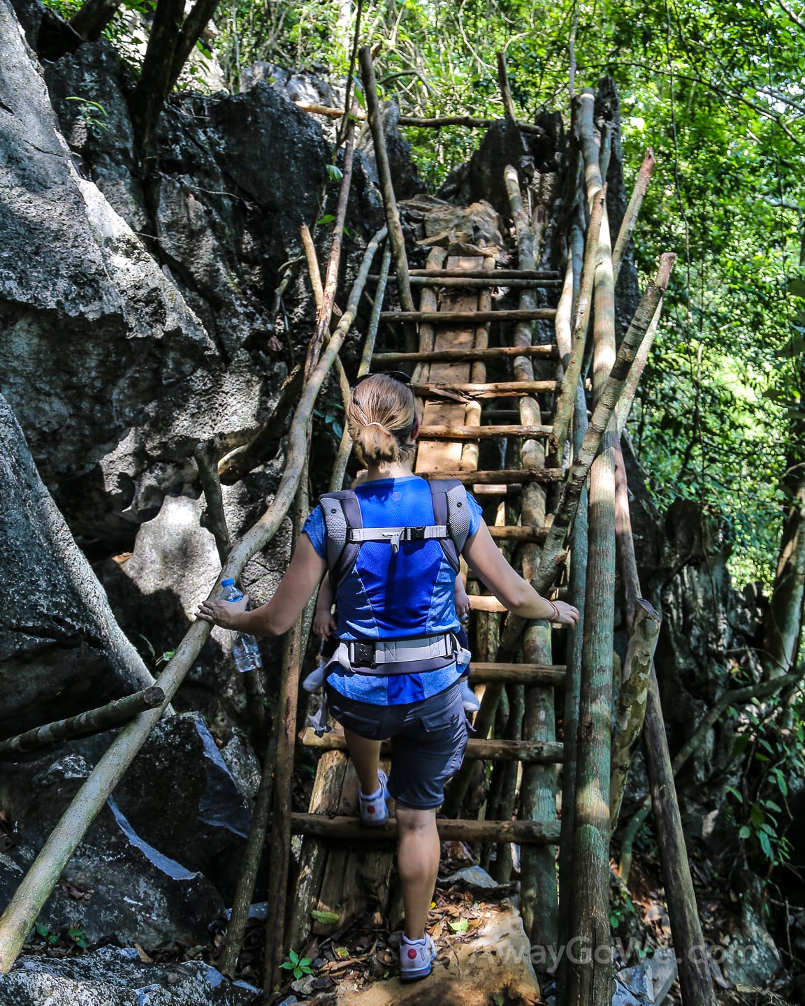
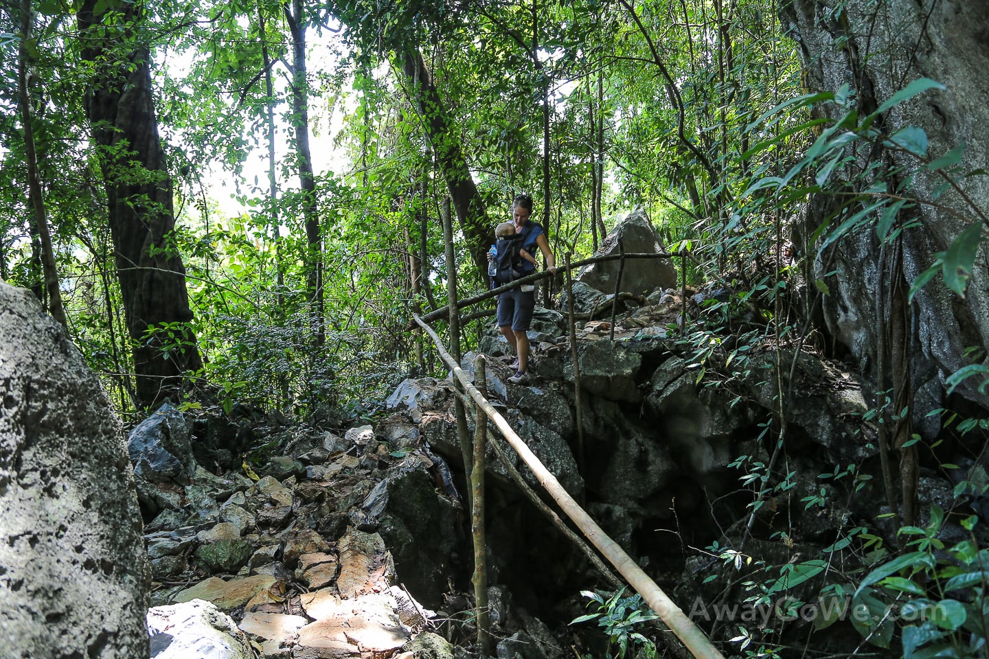
One hour from the trailhead and we finally reached a split — left to House 1, right to House 2.
I was beginning to wonder if they had somehow lengthened the trail in recent months. There was little mention of two viewpoints and we obviously had hiked farther than “500 meters.” We weren’t worried that we had veered off the main trail, as we encountered a steady stream of hikers on their way down and the route had been obvious all the way up. Now we were standing between the two lookouts. Surely, it must only be a matter of minutes and no more than a dozen vertical meters until we reach our objective? We hoped so as we were running low on water and, worst of all, had discovered we had left all our money in the car for buying more water at the summit.
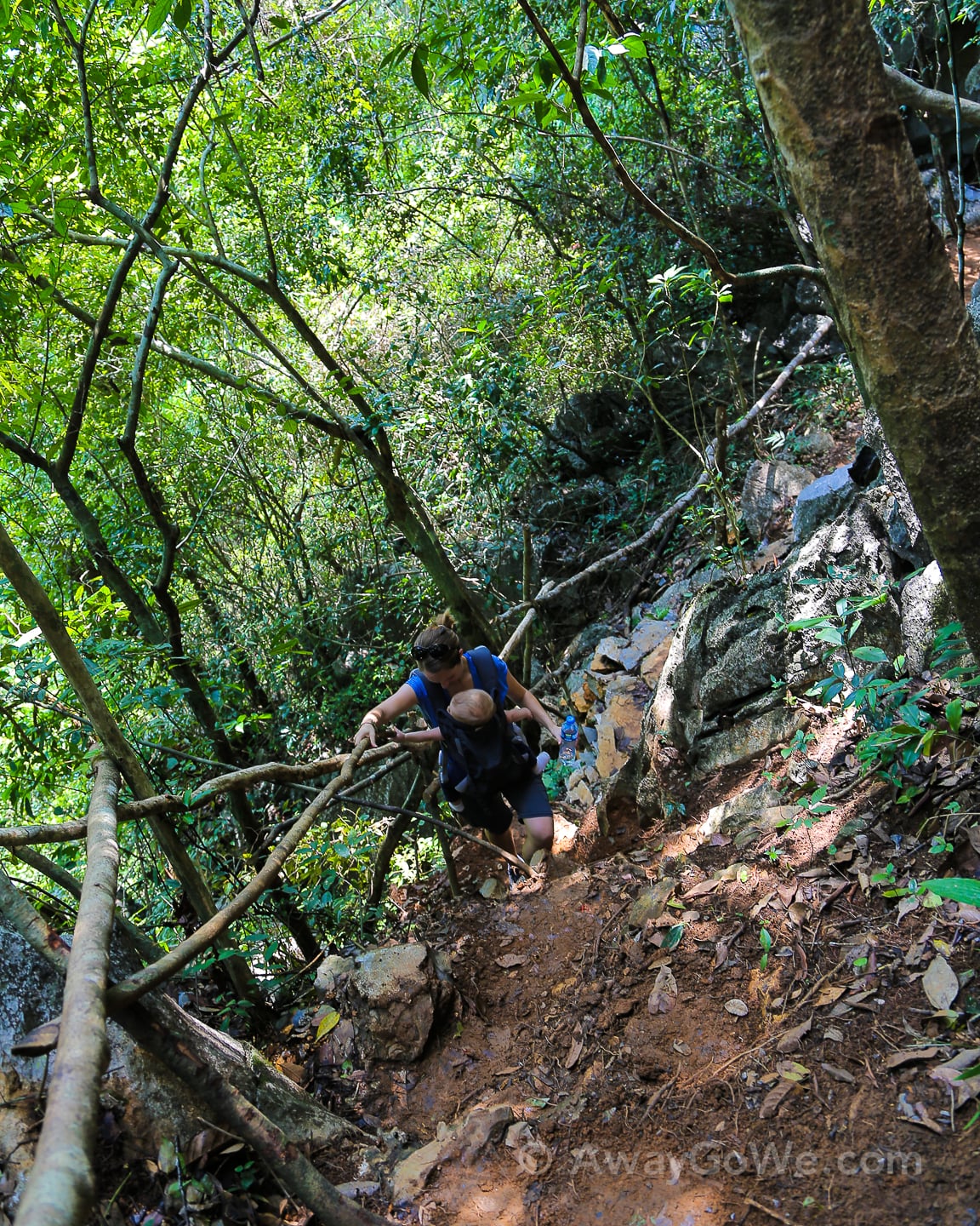
A few minutes later and the climb went from steep to vertical — a straight ascent over limestone with the aid of wooden and bamboo rails. All we could see was rock shooting straight up, with no sign of the shelter.
I felt it was time to turn back. Lori felt that since we had made it this far, one of us should at least make it to the summit. She and Noe would take a break and cool off while I covered the last stretch.
So, I headed up — hand-over-hand, foot-over-foot. Up, and up, and up. This last section was completely exposed and it was approaching midday. I had been slowly making my way up for only five minutes when I spotted the roof of House 1 about 30 feet directly above me with the hardest part of the climb still ahead. My shirt was completely soaked and my eyes were stinging from sweat pouring down my forehead. I knew I was losing too many fluids in the midday heat.
I’ve never gotten so close to the top of a climb and not finished it. But I knew I couldn’t do it. Not today. We had about a quarter of a small bottle of water left and I didn’t want us to descend with nothing. If we had brought sufficient water, or even money for that matter, all three of us could have made it — with some effort — but not ridiculous effort. If Noe hadn’t been in the picture, Lori and I would have pushed ourselves to finish it. But we weren’t going to do that today.
I paused for a minute on the side of a mountain with no one else around, looking up at blue sky and out through unlimited visibility on the horizon (rare for this time of year). I knew the view at the top would be exceptional. I looked back up at the reflective roof of the shelter. Thirty feet. A three-story building. I sighed and slowly made my way back down the limestone.
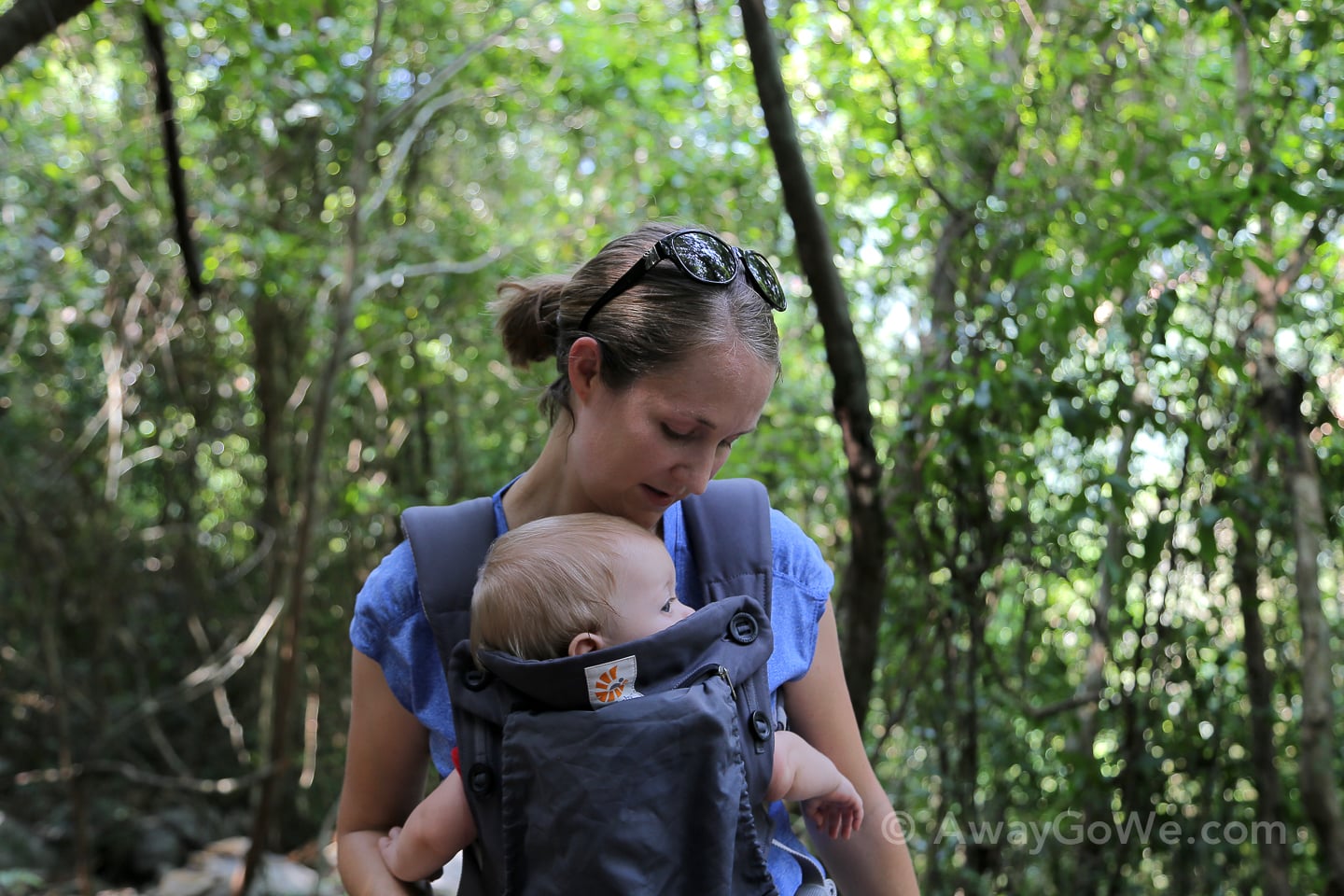
It wouldn’t have been a huge deal not reaching the summit (we live three hours from here after all!) if it hadn’t been on the heels of a rough couple of weeks in parenthood (and life, for that matter), with Noe’s second hospitalization, trying to get to the bottom of Noe’s illnesses, and reworking our lives around preventing future hospitalizations — hiring and paying out more money for babysitters and nannies, taking him out of daycare, and putting my own professional and personal goals on hold further into the future [again]. I love being a dad. I value our time together more than anything. But I’m also looking forward to a time when I can commit to something outside of the house three weeks into the future and be able to follow through on those commitments. Lately, our lives have just been too unpredictable for that.
Lori and I had come to Vang Vieng in part as a way of reaffirming our commitment to living an adventurous life with the addition of a kid (as opposed to the other way around). By and large, I think we accomplished that this weekend, even if we weren’t able to meet all of our objectives. Even so, Vang Vieng can be quite the discouraging place for parents with very young children. Honestly, in our daily lives in Vientiane, we face few limitations with a baby in tow — we can get around with ease, go to any bar, restaurant, or event we want without anyone so much as batting an eye lash, and do most activities on offer in the city with Noe. In Vang Vieng, however, we are constantly surrounded by reminders of our current limitations — rock climbers, kayakers, river tubers, spelunkers engaging in many activities we used to enjoy as a couple but that are largely unfeasible for us to do together at this particular time.
However, the area can also be an energizing and encouraging place for parents with the right perspective. There are still far more worthwhile outdoor activities that can be done with young children in a short distance than most places on Earth. And we are fully aware that Noe will be climbing up rock walls and floating down the river before we know it.
True as that all may be, it did little to lift the mood on our way down the mountain.
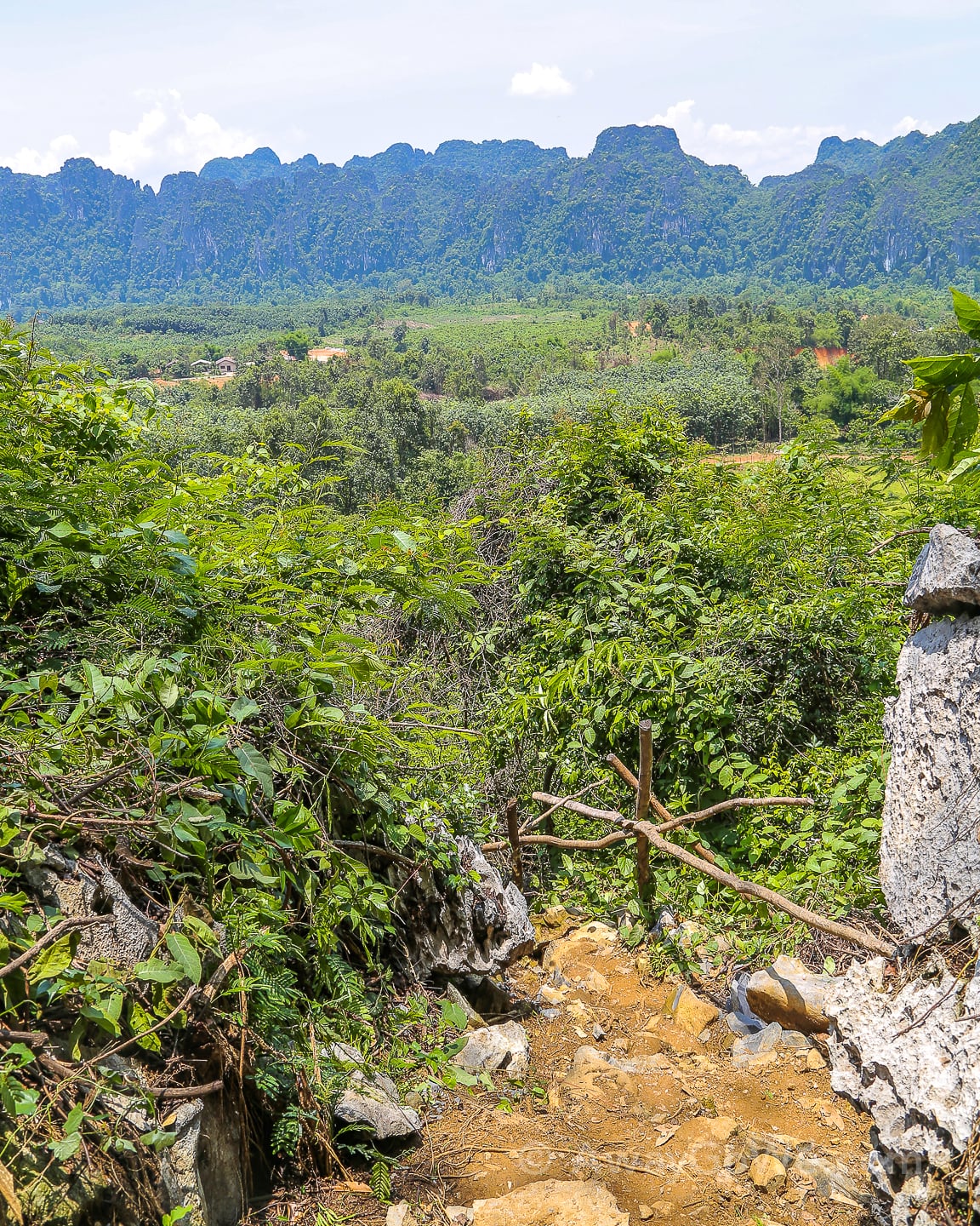
We reached this point and paused to take in the stunning landscape. It may not be the commanding view spanning the entire region we had expected to see, but beautiful nonetheless.
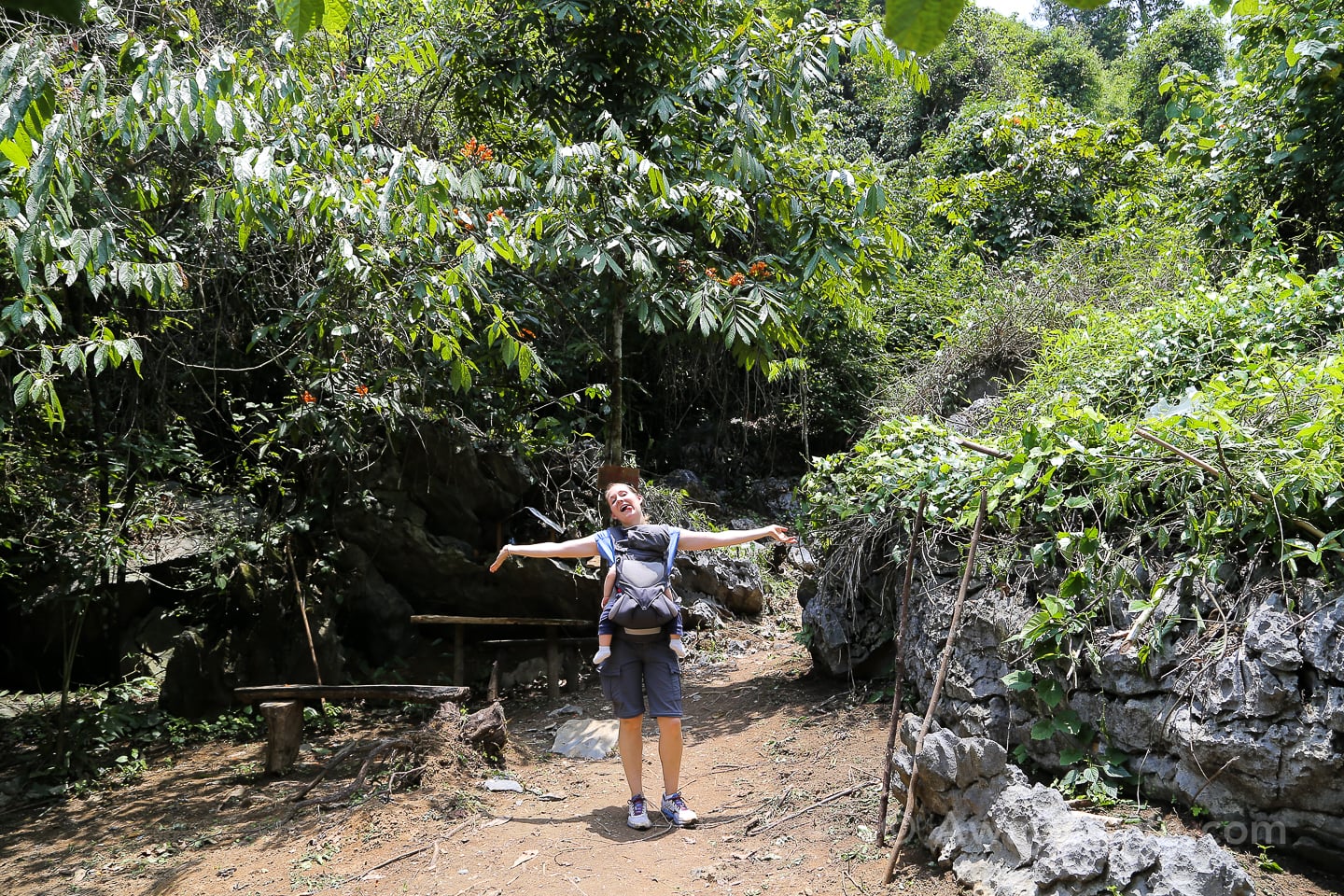
After over two hours of strenuous, midday hiking, the three of us had made it back to the car and proceeded to focus on the long-awaited task of cooling and rehydration. Next on the agenda? A hearty and delicious meal of mulberry pancakes and local goat cheese at the Vang Vieng Organic Farm!
What to Know for Hiking Pha Ngeun
- It’s about one mile (1.6km) from the parking lot to where the trail splits. This portion will likely take between 30-60 minutes, depending on a number factors.
- From there, it’s another 10-15 minute climb up to House 1. We didn’t attempt hiking to House 2, but it looked much farther.
- As of May 2017, there were indeed beverages and snacks for sale at House 1.
- The majority of the trail is shaded, but sun protection is still recommended as the last 10-15 minutes to House 1 are completely exposed.
- The trail is steep and strenuous for most of the hike, but as of May 2017, was well-maintained with earthen/stone steps and good rails.
- A fit and adventurous person can safely do this hike carrying a baby, provided that hydration and sun-exposure are properly taken into account and the baby is used to being in a carrier for 1-2 hours at a time.
- It can be a very sweaty climb, given the terrain and the tropical conditions. Plan accordingly!!!
Update: November 2017
We made it to the top!
Read all about our successful attempt at climbing Pha Ngeun.
You definitely made the right decision on this hike. I/we do know how you feel, however. Even though we did most of our hikes and rafting stateside, we too had to make some changes with the addition of Kyle and Eric. Our adventures had to be a little more on the tame side but resulted in a new type of fun to experience with the boys. We’ve never felt regret as we knew eventually we’d all get back to it!!
Thanks! That’s what we had to keep telling ourselves too!
Oh, the adventures you are having. I am glad you recognized the importance of staying hydrated, even though you didn’t accomplish your goal.
We drank so much water when we got back to the truck!